Just as many Americans were savoring the last stretch of summer, a powerful polar vortex is set to rewrite the script for them. AccuWeather meteorologists say more than 250 million people will trade T-shirts for jackets in early September.
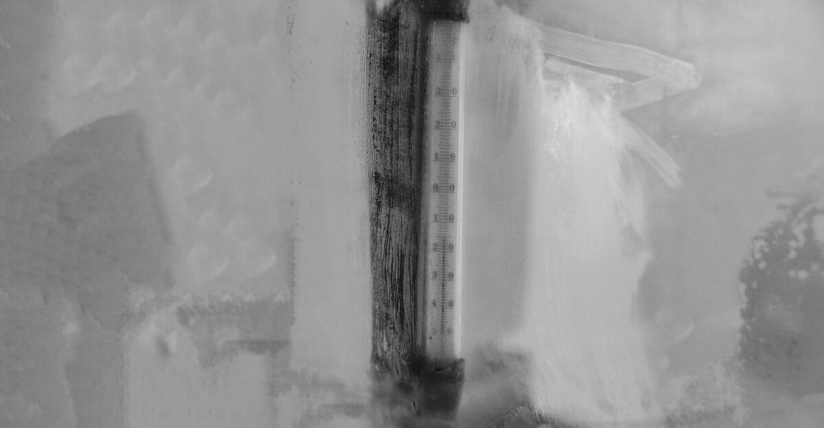
The cold blast is so unseasonable that temperatures will mimic late October rather than the first days of fall. “This is among the earliest widespread cold snaps we’ve tracked in recent history,” forecasters said. The sudden flip has left communities bracing for mornings that feel like Halloween instead of Labor Day.
The Chill Reaches Millions
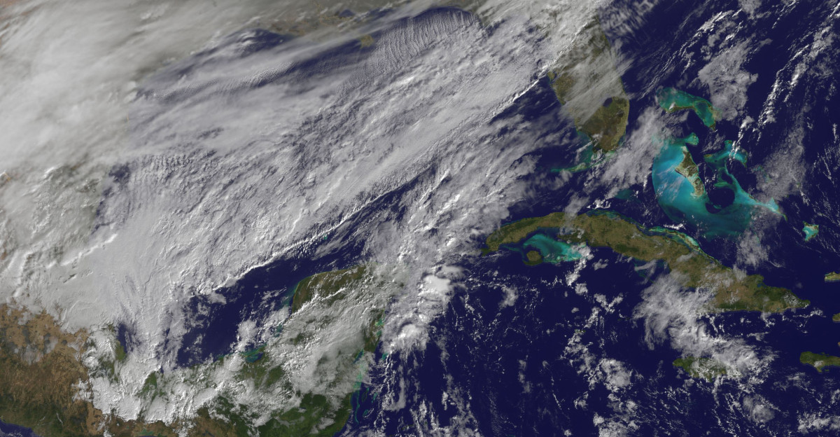
The scale is staggering, from the northern Plains to the Northeast. The National Weather Service projects that three-quarters of Americans will feel temperatures 10 to 20 degrees below average, with some spots dipping nearly 30 degrees.
Only Florida, parts of Texas, and a few coastal zones will escape the icy touch. The plunge will be difficult to ignore for Midwestern families still planning cookouts. Chicago, Detroit, and Minneapolis are cities forecast to swing from late-summer warmth to jacket weather in days.
September Dresses Like October

September will feel more like mid-autumn in towns across the Midwest and Appalachians. Daytime highs may stall in the 40s, and overnight lows could sink into the 30s—levels more typical of pumpkin patches than back-to-school week. Even the southern Plains will cool noticeably, slipping into the 70s.
For parents sending their kids to class, it means an unexpected wardrobe change of hoodies, gloves, maybe even scarves. This jolt—splashing from one season to another almost overnight—makes this cold snap especially memorable.
The Science Behind the Surprise
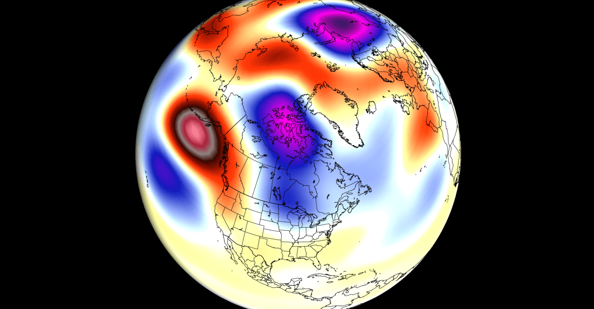
So how does September suddenly borrow from winter? Meteorologists trace the event to a rare cross-polar flow, funneling Arctic air straight into the U.S. A weak stratospheric polar vortex, combined with early atmospheric warming, is to blame.
NOAA researchers explain that a negative phase of the Quasi-Biennial Oscillation, an equatorial wind cycle, helped destabilize the vortex. Such disruptions usually wait until December or January. Seeing them this early is rare, disruptive, and slightly unsettling, like a winter storm crashing a summer barbecue.
The Week Ahead in Chill
The cold will first grab the Northern Plains and Upper Midwest by Thursday. By the weekend, it will ripple eastward into the Great Lakes, the Ohio Valley, and the East Coast. AccuWeather expects five to seven straight days of chill before moderation sets in.
For many, it will feel like summer was switched off overnight. Families planning late-season lake trips or outdoor fairs will be sipping hot cider instead of iced tea, a seasonal pivot no one expected so soon.
Temperature Swings That Stun
In cities like Chicago, highs are forecast to drop into the 50s after flirting with the 80s earlier in the week. Such a swing—20 to 30 degrees below average—doesn’t happen often in September. The National Weather Service warns that record cold highs and lows could be set in several locations.
Meteorologists say the shock factor comes from the numbers and timing when summer ends with a whisper most years, not a thud. This time, the atmosphere is skipping ahead in the calendar.
Great Lakes Stirring With Drama
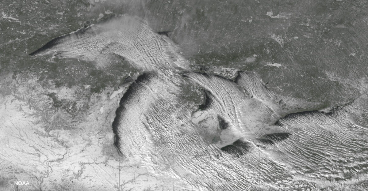
The Great Lakes region may experience its own late-summer theatrics. When icy air pours over warm water, it sparks instability, sometimes producing graupel—soft, snow-like pellets—or even waterspouts. NOAA researchers recall that in 2020, nearly 100 waterspouts appeared within days under similar conditions.
For boaters and coastal towns, the spectacle can be as hazardous as it is mesmerizing. Imagine stepping onto a pier in early September only to find swirling funnels over the lake, reminders that nature runs on its own timetable.
Communities in the Crosshairs
AccuWeather forecasts highlight the Upper Midwest as ground zero for the most intense chill. North Dakota, Minnesota, Wisconsin, and Michigan will feel like October arrived a month early. In cities such as Minneapolis and Milwaukee, highs may stall in the 40s.
Farmers are adjusting harvest timelines, schools are altering outdoor plans, and everyday routines, from morning commutes to weekend games, are being reshaped. The cold isn’t just about numbers on a chart; it’s about how communities pivot when weather suddenly rewrites daily life.
Energy Markets Feel the Bite

Wall Street is paying attention, too. Analysts expect natural gas prices to climb 5–10% as traders anticipate higher heating demand, even if it’s just for a week. According to the U.S. Energy Information Administration, similar cold snaps have sent energy markets into brief frenzies.
While prices usually level out once warmth returns, the reaction shows how sensitive the system is. One unexpected cold wave, everything from home heating bills to utility strategies shifts—an economic ripple powered by the jet stream.
Retailers Rush to Respond
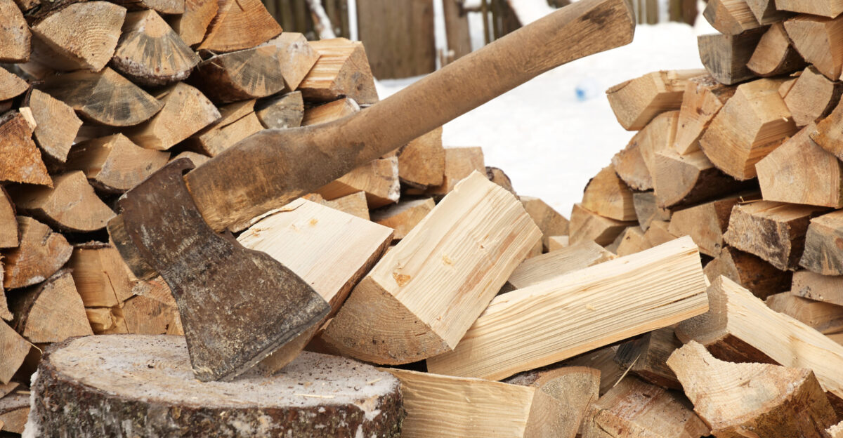
Managers in big-box stores from Cleveland to Buffalo are already stacking sweatshirts, heaters, and firewood near the front. Retail analysts say sales of cold-weather gear could spike 10–25% compared to last week. For families, the transition will be abrupt, swapping swimsuits for wool socks in a single weekend.
Still strained from other disruptions, supply chains are scrambling to keep up. If you’ve ever dashed out for gloves after the first unexpected frost, you know that weather dictates shopping lists.
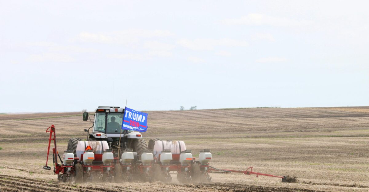
Frost Threatens Harvests
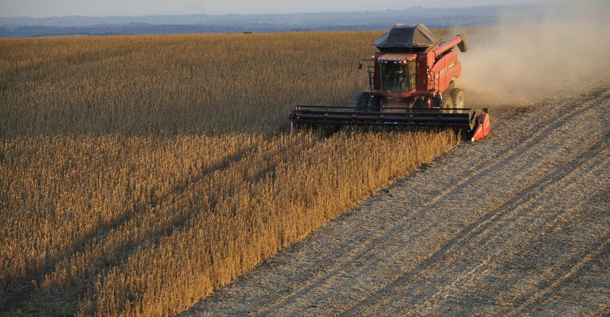
For farmers, the chill isn’t just inconvenient, it’s risky. Clear September nights could bring frost across northern states, threatening soybeans, corn, and vegetables still maturing in the fields. Agricultural experts in Minnesota and Wisconsin are warning of potential insured losses that could total $200 million if frost is widespread.
Extension services are urging growers to monitor crops closely and prepare mitigation tactics. An untimely frost doesn’t just shrink yields; it cuts into livelihoods, creating stress in a sector already balancing tight margins.
Sports and Festivals in Flux
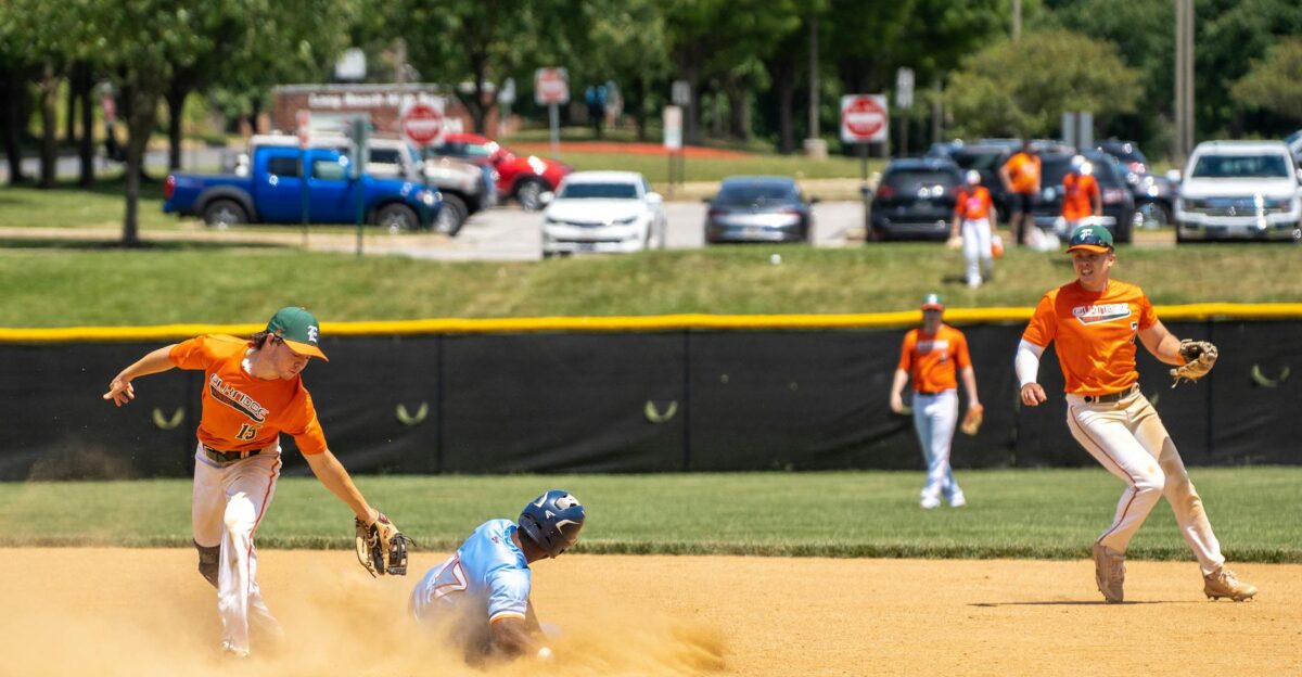
High school football games, college tailgates, and local festivals face chilly adjustments. Outdoor events in the Midwest and Northeast may increase the demand for heaters and hot drinks. Health officials anticipate more cases of cold exposure, especially among young athletes and fans unprepared for October-like weather.
Some festivals are considering moving events indoors or scaling back evening activities. What was supposed to be a warm kickoff to the season will now be remembered for chilly bleachers and bundled-up crowds.
Life Turns on a Dime

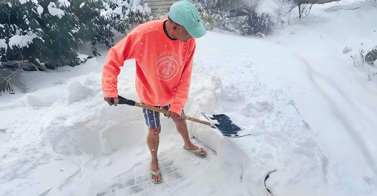
Families are reacting quickly to the sudden shift. Parents are digging out coats for kids who wore shorts to school just last week. Social media has images of frosted lawns and visible breath at morning bus stops. In some towns, warming centers are reopening earlier than expected.
The speed of change, going from late-summer picnics to hot chocolate in hand, has left people shaking their heads. It’s a reminder of how weather touches daily rhythms in ways forecasts can’t always capture.
A Weak Polar Vortex at Fault
Atmospheric scientists point to the unusual weakness of the stratospheric polar vortex. Usually, it builds strength through fall and winter, but this year it has formed at record-low intensity. The combination of stratospheric warming and a negative Quasi-Biennial Oscillation phase left it vulnerable.
With the vortex destabilized, Arctic air spilled south. If the weakness persists, researchers warn that this September jolt may not be the last, setting the stage for more cold intrusions in the months ahead.
Fall Arrives Overnight
September 1 is the meteorological start of fall, but it rarely arrives so dramatically. Instead of gradually fading warmth, this year’s transition feels like a switch was flipped. Meteorologists say the suddenness is striking, where summer patterns will disappear almost instantly, replaced by blocking highs and persistent troughs usually reserved for mid-October.
For many, it’s a season opener unlike any other, an abrupt reminder that the atmosphere doesn’t wait for the calendar to catch up.
Global Weather Patterns Collide
This outbreak didn’t happen in isolation. Multiple global oscillations aligned simultaneously, including the negative Arctic, Eastern Pacific, and Quasi-Biennial oscillations. NOAA forecasters note that together, these patterns create high-latitude blocking, steering Arctic air deeper into North America.
Such a rare alignment explains why this September event is so extreme. For scientists, it offers a valuable case study of how interconnected the world’s weather systems are and how shifts thousands of miles away can reshape daily life here.
History Has Few Parallels
Sharp September cold events aren’t unheard of, but few match this one’s scale. Weather historians note that while early frosts have dotted the past, a cold wave sweeping across three-quarters of the U.S. so early is rare.
Some forecasters see it as a hint of a cooler-than-average autumn. Others urge caution, pointing out that single events can’t define a season. What’s clear is that this outbreak will be remembered as one of the earliest and most dramatic September chills in decades.
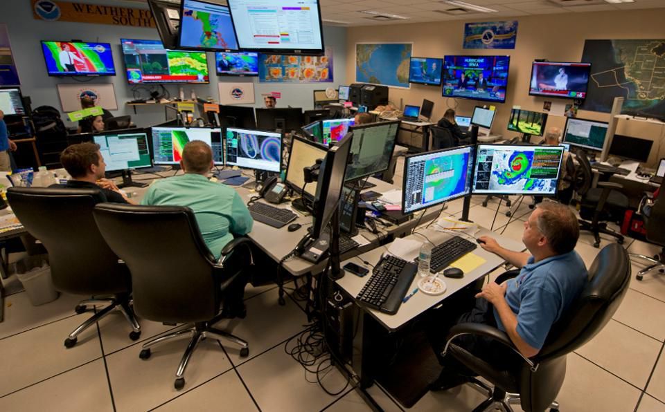
Officials Urge Preparedness

State and local officials are urging residents to get ready for colder mornings. The National Weather Service recommends checking heating systems, layering clothing, and being mindful of vulnerable groups such as older people and children.
Schools are adjusting schedules, and public facilities are preparing contingency plans. Health experts warn that hypothermia risks, though rare this early, are real during overnight lows in the 30s. The message is simple: We must treat this September chill like a mid-October cold snap.
Nature Responds Too
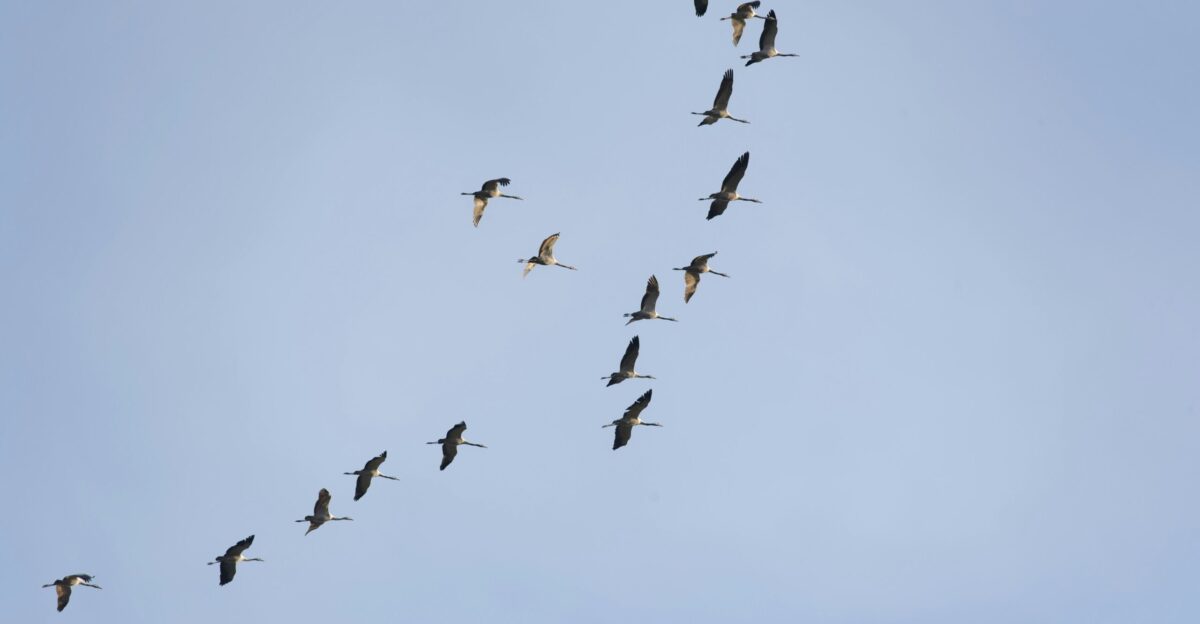
The natural world will also feel the shock. Ecologists say early cold can shift plant and insect life cycles, disrupting pollinators like bees and butterflies. Migratory birds may adjust their timing, while trees in the Midwest and Northeast could change color weeks ahead of schedule.
Lakes may even experience earlier mixing, affecting aquatic ecosystems. Scientists see these shifts as part of a broader story where extreme weather events imprint fingerprints on people’s routines and ecosystems.
What Lies Ahead

Forecast models suggest warmer conditions will return by mid-September, relieving millions who swapped shorts for sweaters. But meteorologists caution that the weak polar vortex bears watching. If instability persists, more cold episodes could arrive this fall and winter.
Factors such as Canadian snow cover and global oscillations will help shape the months ahead. For now, the early chill reminds us that weather can affect everything from energy, farming, and shopping to the rhythm of daily life in a single week.