In early September, hurricane experts tracked a tropical wave about 2,000 miles east of Puerto Rico, with the National Hurricane Center estimating a 90% chance of it developing into Tropical Storm Gabrielle by the weekend.
Computer models indicated a westward movement toward the Caribbean islands, and AccuWeather suggested possible strengthening, which could result in significant impacts for the region.
Peak Timing

September 10 is the statistical peak of the Atlantic hurricane season, a time when storm activity is usually at its highest.
This year, however, has been surprisingly quiet, with only six named storms reported—well below the typical average—resulting in an unusually calm period in the Atlantic basin.
Forecast Evolution

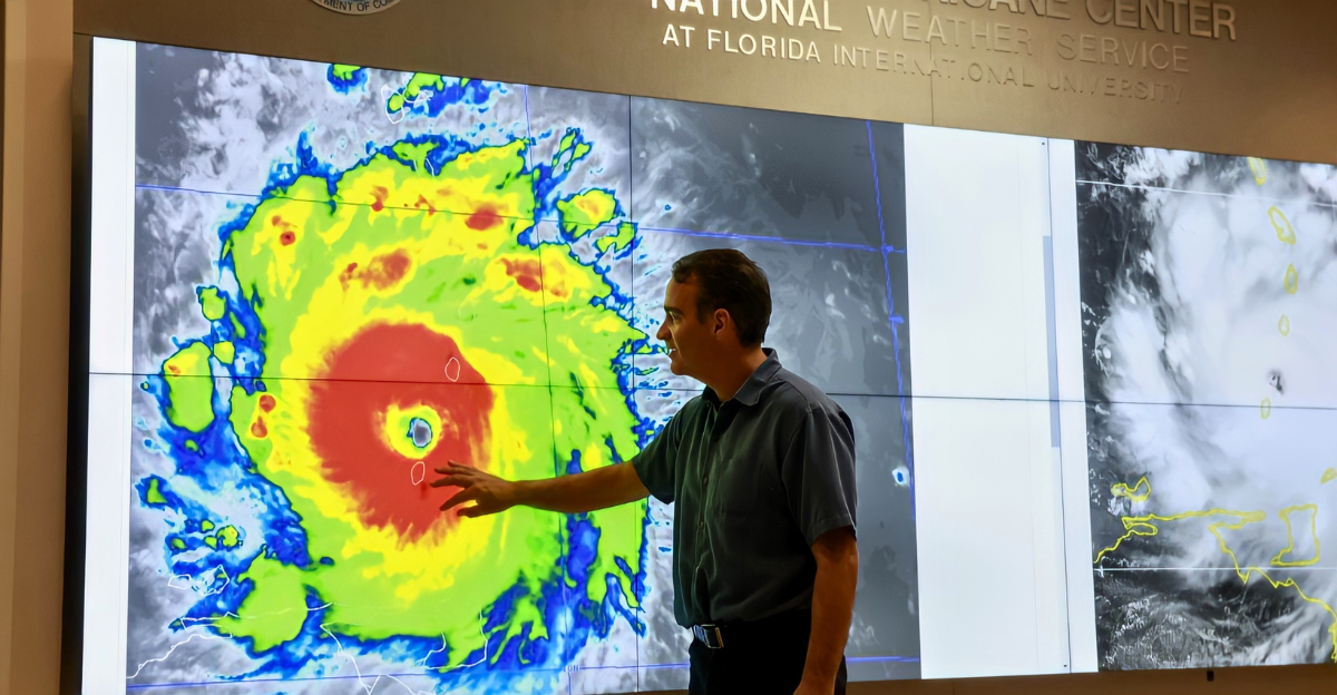
Recent advancements in satellite technology and supercomputing have greatly improved hurricane predictions.
Modern forecasting systems can track storm paths with over 70% accuracy three days ahead, with the National Hurricane Center maintaining average errors under 100 miles. However, rapid intensity changes still pose challenges for meteorologists.
Model Systems

Weather forecasters rely on various computer models to predict hurricanes, with key guidance coming from the American GFS and European ECMWF. Private companies also use many different model configurations for their forecasts.
Consensus among these models greatly increases forecaster confidence in the predictions.
A Dramatic Failure
On September 5, University of Miami scientist Andrew Hazelton criticized a recent tropical wave forecast, calling it “one of the bigger global model forecast busts of the last several seasons.”
In light of this, the National Hurricane Center reduced the development odds from 90% to 60%, acknowledging the flaws in their computer models.
Weekend Storm Threat
AccuWeather meteorologists have warned of a dangerous storm approaching the Caribbean. Hurricane expert Alex DaSilva stated, “We expect tropical storm Gabrielle to form by the end of this weekend or early next week.”
The private weather company projected wind gusts of 100 to 120 miles per hour near the hurricane’s core, with between four and eight inches of rain possible.
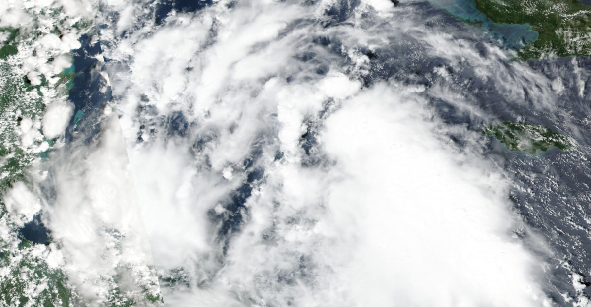
Dry Air Barrier

In his September 7 analysis, FOX Weather’s Bryan Norcross discussed the collapse of a tropical wave, attributing it to a large area of extremely dry air between the wave and the Caribbean.
He noted that none of the computer models predict that the system will survive this challenging environment.
AI Success

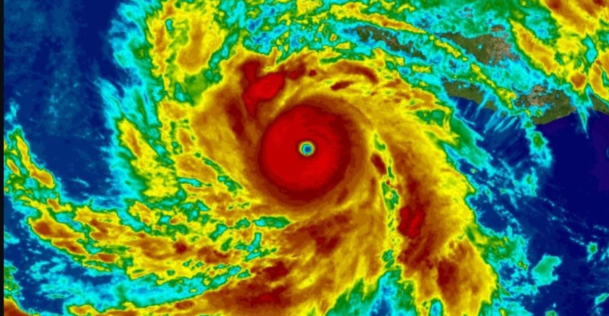
Google’s DeepMind hurricane model showed notable effectiveness during Hurricane Erin’s rapid intensification in August.
Former National Hurricane Center specialist James Franklin noted that it outperformed other forecasting systems, offering the best track forecast for the first three days of Erin’s development.
Season Expectations

The 2025 Atlantic hurricane season markedly differed from predictions of above-normal activity. NOAA’s August outlook estimated 13 to 18 named storms, with five to nine expected to be hurricanes.
However, by September’s peak, only Hurricane Erin had reached major hurricane status, indicating a significant shortfall in overall storm activity and highlighting challenges in long-range tropical forecasting.
Forecast Bust Scale

Andrew Hazelton’s assessment identified a significant forecasting failure affecting multiple computer models. The University of Miami scientist noted this as one of the largest global model inaccuracies in recent seasons.
The shift from a 90% chance of development to a complete system collapse within 48 hours highlights the unprecedented nature of this error.
Activity Deficit

Hurricane specialists faced questions about seasonal predictions as Atlantic activity remained below expectations. The season had produced only six named storms by September compared to climatological averages.
The disconnect between favorable oceanic conditions and actual storm development puzzled forecasters monitoring the basin throughout the traditionally active period.
Technology Integration

Google DeepMind announced that its experimental hurricane AI model will be evaluated in real time by National Hurricane Center forecasters this season.
According to Local10 News, the partnership marked the first time AI predictions would be tested operationally during active tropical systems. The technology promised significant time savings over traditional physics-based models, which require expensive supercomputers and extended processing periods.
Model Performance

The AI hurricane model demonstrated exceptional capability during Hurricane Erin’s development in August. James Franklin noted it “really outperformed the other guidance in terms of intensity” and “got the general shape of the life cycle change almost exactly.”
According to CBS Miami, the system showed “practically no error” in predicting the storm’s rapid intensification and overall evolution.
Forecast Challenges

Traditional weather models require vast computational resources and powerful supercomputers to solve complex atmospheric equations. According to Local10 News, machine learning approaches offer “huge time savings” over conventional methods, which take “hours upon hours” to complete.
The accuracy improvements come alongside significant reductions in processing time and computational requirements for operational forecasting centers.
Environmental Analysis
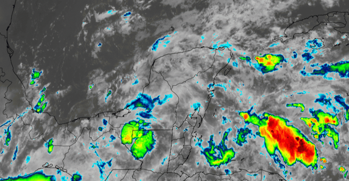
Local10 meteorologists explained Invest 91L’s failure through thermodynamic analysis of atmospheric conditions. The system “kept a decent spin but stayed convectively starved, absent any persistent or robust thunderstorm cover.”
Environmental factors, including dry air intrusions from higher latitudes, prevented the sustained thunderstorm activity necessary for tropical development across the Atlantic basin.
Historical Context

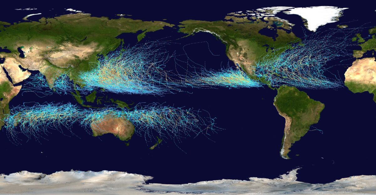
The 2025 season continued a streak of above-average Atlantic hurricane activity extending back to 2016. According to NOAA’s seasonal assessment, every hurricane season since 2015 had produced more storms than the 30-year average.
However, the timing and distribution of activity varied significantly from year to year, demonstrating the complexity of seasonal tropical forecasting.
Seasonal Outlook
Despite the September lull, NOAA maintained predictions for above-normal hurricane activity through the remainder of the 2025 season. Acting administrator Laura Grimm emphasized that the updated outlook “serves as a call to action to prepare now, in advance, rather than delay until a warning is issued.”
Peak season historically extends through mid-October across the Atlantic basin.
Climate Connections

Scientists continue exploring connections between climate change and tropical cyclone behavior in warming oceans. According to NOAA research, warmer waters provide additional energy for storm development and intensification processes.
The agency noted that “climate change is contributing to the intensity of these storms, which are fueled by warmer waters” in recent years.
Forecast Evolution

Hurricane forecasting continues evolving through technological advancement and improved understanding of atmospheric processes. The integration of artificial intelligence represents the latest step in decades of steady improvement in track and intensity prediction.
Each season provides new data and insights for refining traditional physics-based models and emerging machine learning approaches to tropical meteorology.
Future Direction
The failed Invest 91L forecast highlighted the progress and persistent challenges in hurricane prediction. While AI models showed promise during Hurricane Erin, atmospheric complexity ensures no single approach provides perfect forecasts.
The combination of traditional meteorology with machine learning innovations offers the best approach to protecting coastal communities from tropical cyclone threats.