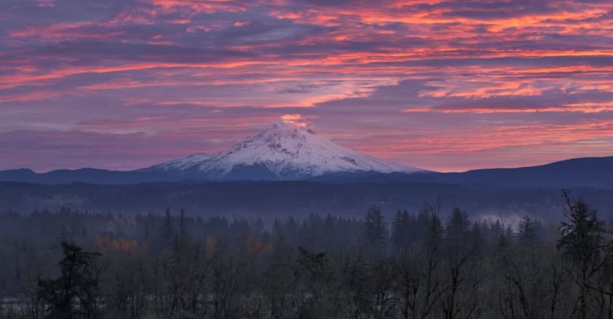
December 2025 broke temperature records across Oregon’s Cascade Range, with some stations hitting their warmest conditions in over 100 years.
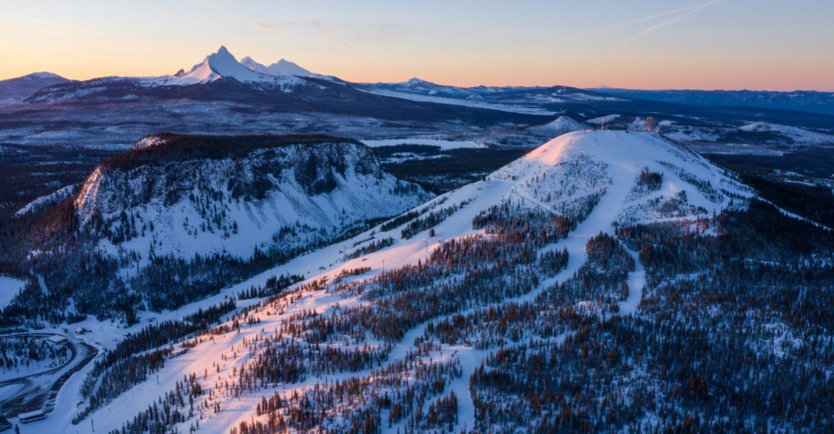
Ski resorts across Central Oregon shut down the entire month as warm, dry weather stopped snowpack from building naturally. This snow shortage created huge economic pressure on an industry that serves roughly 500,000 visitors yearly.
Meteorologists now watch something dramatic: a complete atmospheric flip that could either save or hurt the fragile season. What happens when extreme cold finally arrives?
Cascades’ Desperate Math
Oregon’s Central Cascades snowpack sits at just 25–28% of normal for early January—the lowest in 75 years. Experts warn that this poses a threat to summer water supplies and increases wildfire risk across the region.
Hoodoo Ski Area, which has been operating since 1927, closed for the entire month of December for only the fourth time in its history. Mt. Bachelor, the Pacific Northwest’s largest ski resort, delayed opening despite record early-season demand.
State climatologist Larry O’Neill warned recovery needs “six to 10 feet” of snow—way more than one storm can deliver. Resort operators and water managers feel the pressure mounting.
The Pattern Nobody Wanted
Warm falls and delayed winter storms define Oregon’s new climate pattern. Since 2000, early-season snowpack shortages have occurred in roughly 40% of years, based on USDA National Resources Conservation Service data.
December 2025’s warmth fit a decades-long trend of earlier springs and milder winters. The ski industry invested in snowmaking to adapt, but a bone-dry early season tests even that technology.
Mid-December meteorologists noted that a major reversal might occur—but only if cold air plunged south with sufficient Pacific moisture.
The Forecast Tightens
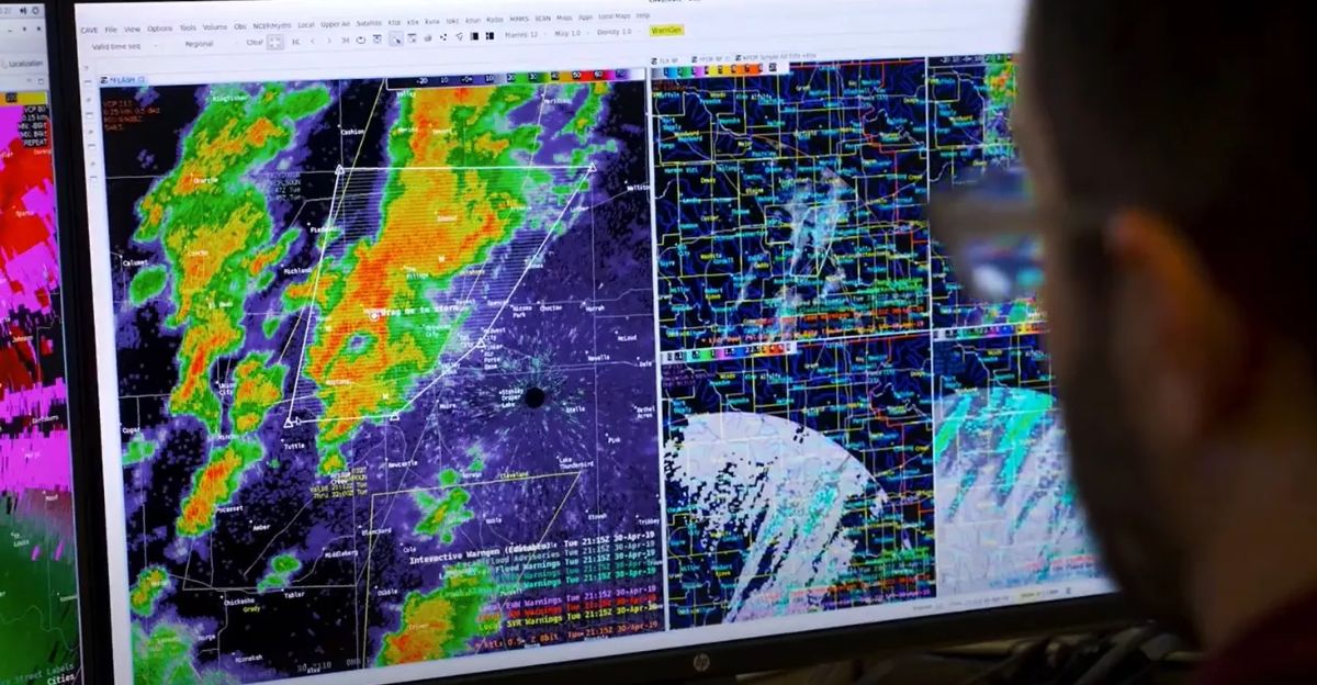
By January 5, 2026, the National Weather Service issued increasingly urgent warnings about an “Arctic plunge” system heading to the Pacific Northwest.
Computer models showed a 500+ mile atmospheric ridge collapsing, pulling cold air south and forcing warm Pacific moisture to meet the cold mass over Oregon. This setup matched only the most severe winter storm patterns: heavy rain or snow meeting subzero temperatures at high elevation.
Meteorologists called it a “perfect storm scenario”—the reversal resorts hoped for, but arriving with life-threatening dangers.
The Storm Arrives
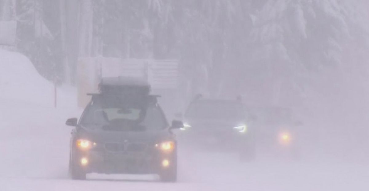
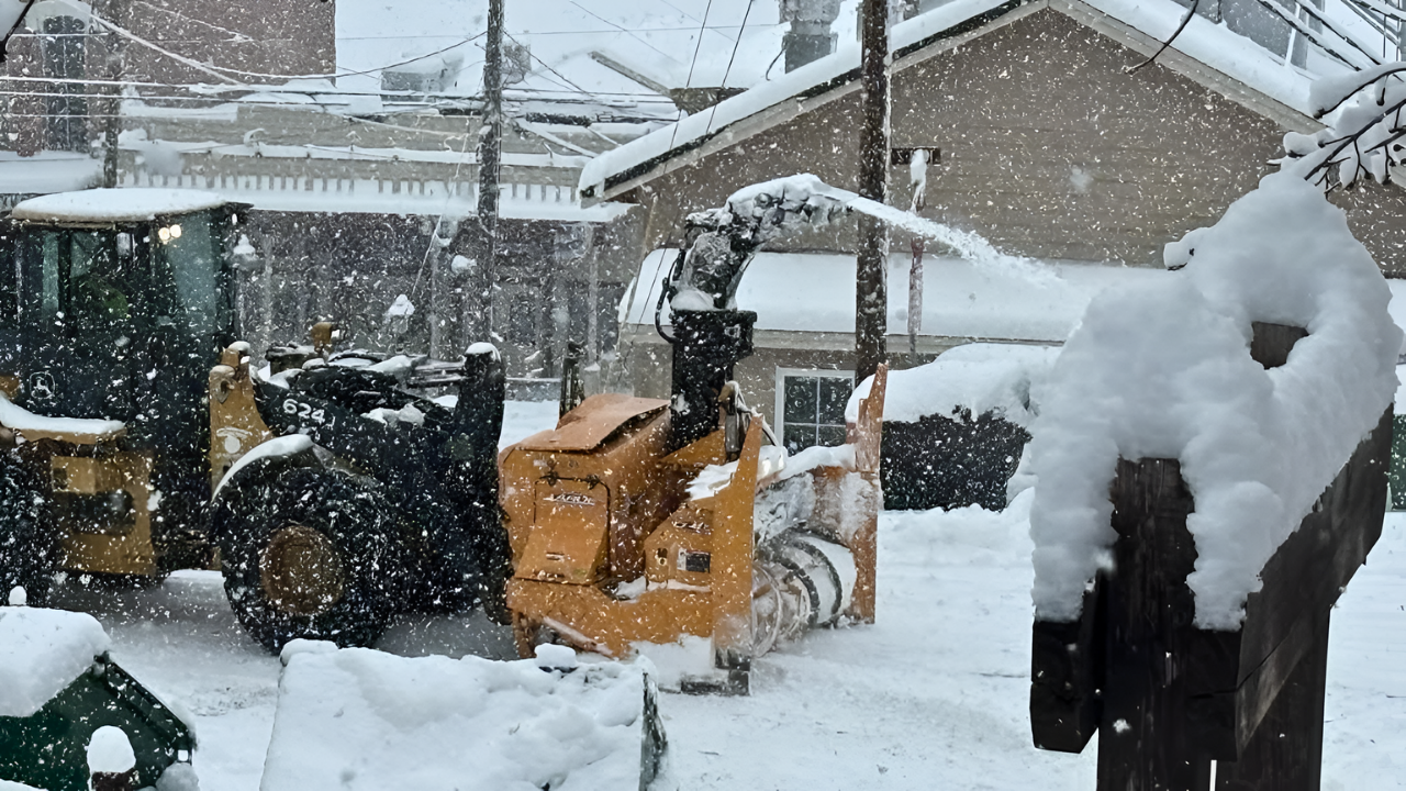
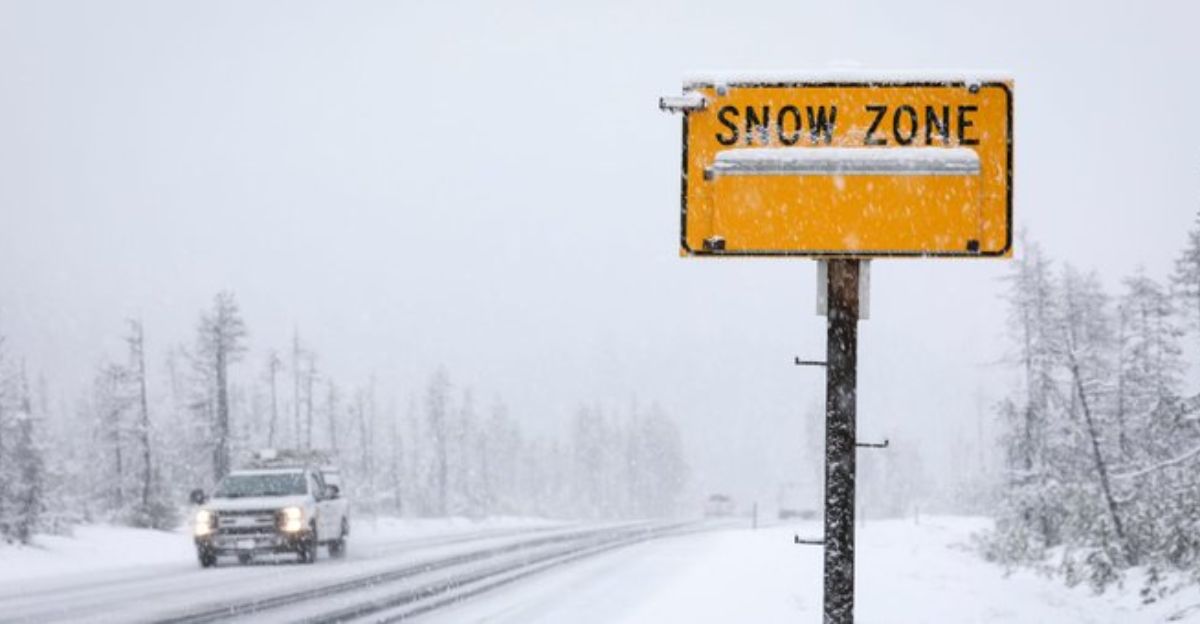
At 5:43 AM PST on January 7, 2026, the National Weather Service issued a Winter Storm Warning for Oregon’s Cascade Range.
The warning predicted up to 5 feet of snow above 5,000 feet elevation with sustained winds of 50 mph over 60 hours. The exact warning stated: “Heavy snowfall and very low visibility will create extremely dangerous driving conditions.”
Santiam Pass faced 42 inches of snow. Mt. Bachelor’s surrounding peaks braced for 26–40 inches. The atmospheric reversal had finally come—with NWS language reserved for life-threatening events.
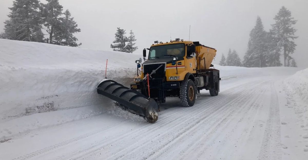
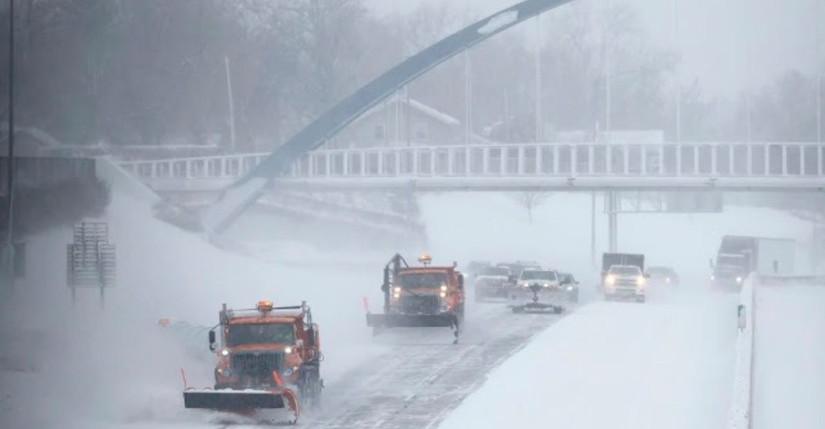
Highway Passages Under Siege
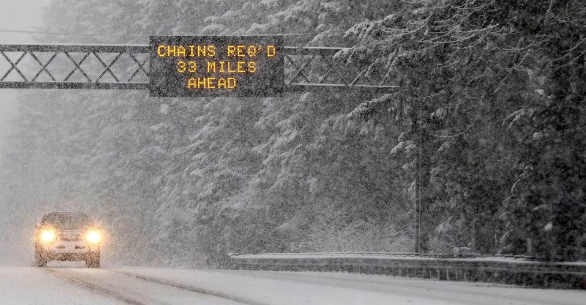
The storm targeted three critical mountain corridors at once: Santiam Pass (Highway 20), McKenzie Pass (Highway 242), and Interstate 97 through the Central Cascades. Road closures happen routinely during Oregon winters, but the NWS advisory specifically urged chain requirements and told travelers to pack winter emergency kits.
The Cascade region connects Eugene and the Willamette Valley—home to over 800,000 residents—to Central Oregon, affecting supply chains and daily commutes for approximately 300,000 people in mountainous zones.
One weather event can strand drivers for 12–24 hours, with the danger of hypothermia rising after 4 hours of exposure.
Ski Resorts’ Last Gamble
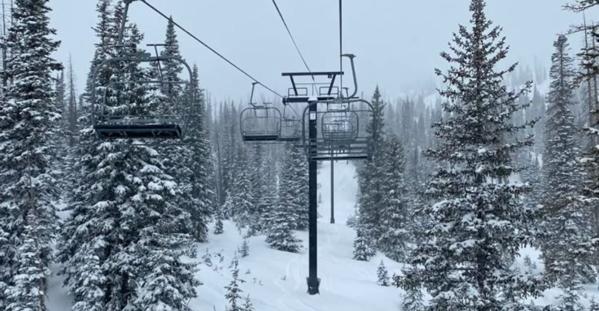
Hoodoo Ski Area announced plans to open Thursday, January 9, 2026, counting on 26–36 inches of snow to meet minimum operating standards. Mt. Bachelor scheduled a Friday opening.
Both resorts had shut down throughout December, resulting in an estimated loss of $2–3 million combined across Central Oregon ski operations.
General Manager interviews on January 6 showed cautious hope: “This storm is literally our season-saver,” one Mt. Bachelor operations director told local media. “Without it, we’re facing the worst year in a decade.”
This illustrates desperation—and how narrow the margin truly is between financial survival and failure.
Water Managers’ Cautious Relief
While ski resorts celebrated incoming snow, Oregon’s water managers faced a tougher math equation. One storm, even this large, cannot fix an entire season’s shortage.
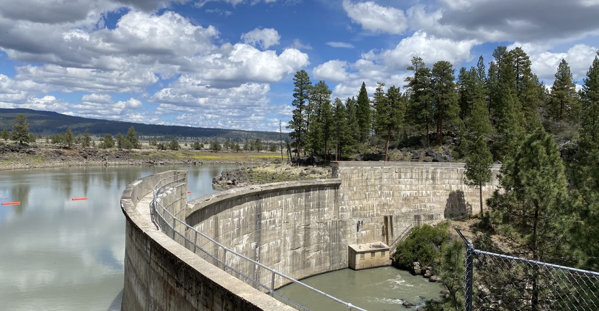
The U.S. Bureau of Reclamation’s Upper Klamath Basin office stated on January 6: “This storm improves our January position but does not materially change spring runoff projections.” Hydroelectric dams feeding central Oregon agriculture need sustained snowpack through April, not just January precipitation.
The Deschutes River Basin supplies water to 300,000+ people. State climatologist O’Neill’s earlier warning still holds: recovery needs 6–10 feet total, and seasonal patterns suggest only 3–4 more storms are likely.
Wildfire Season’s Shadow
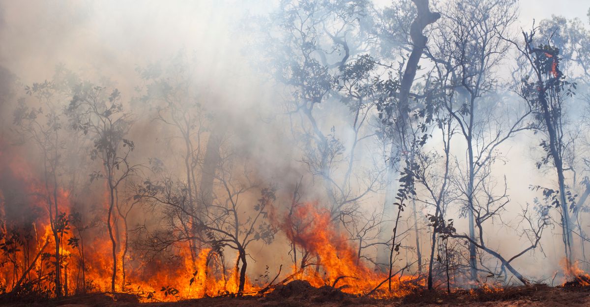
A darker calendar date looms beneath the snow celebration: July 2026. Oregon typically experiences its worst wildfire season starting mid-summer, and low springtime snowpack directly links to early-season fire risk by June.
The 2021 Bootleg Fire, Oregon’s largest wildfire on record, burned during a year when spring snowpack measured just 40% of normal. State foresters and NOAA climatologists started internal discussions about potential fire season severity.
One USDA Forest Service memo, obtained through FOIA and dated January 6, 2026, noted: “Even substantial January precipitation will not eliminate elevated summer fire risk if spring runoff remains below 60% of normal.”
The December Paradox
A key insight reframes the whole story: December’s unprecedented warmth, which shut down Hoodoo, may have caused worse damage than the January storm can fix. Warm temperatures trigger early snowmelt.
By late December, mountain streams flowed at 150% of normal from rain-on-snow events—water that normally stays frozen as snowpack through spring. Even 5 feet of January snow won’t make up for the hydrological loss in December.
Oregon State Climatologist O’Neill confirmed this in a January 6 memo: “The damage from December’s warmth is largely permanent. January snow helps operations but doesn’t restore the basin’s water year direction.” The real crisis isn’t the January storm—it’s what December took away.
Resort Operators’ Frustration Builds
Interviews with ski resort managers on January 7 revealed simmering frustration beneath public optimism. One franchise operator at a smaller Cascade resort, speaking anonymously to local business media, vented: “We spent $400,000 on snowmaking equipment in 2024 based on climate projections.
December proved those projections wrong. Now we’re supposed to celebrate one good storm? This is just performance.”
Hoodoo’s parent company, which runs four Pacific Northwest resorts, issued a corporate statement about season fragility: “Sustainable growth requires predictable winters. What we’re experiencing is the opposite.” The message: business models built on historical winter patterns are breaking apart.
Strategic Recalibration Begins
On January 8, Hoodoo Ski Area announced the formation of an internal “Winter Reliability Task Force” to reassess its operational strategy for the 2026–2027 season.
The task force includes resort management, NOAA meteorologists, and regional water agencies—showing a shift from hoping for normal winters to planning for climate extremes. Mt. Bachelor’s parent company, which reported $13 million in annual revenue before the pandemic, began exploring year-round attractions to reduce winter weather dependency. Similar shifts happened at smaller resorts.
This strategic pivot wasn’t new—Colorado resorts started this in 2010—but Oregon’s adoption signals acceptance that “normal” winters may not return.
Snowmaking’s Hard Limits
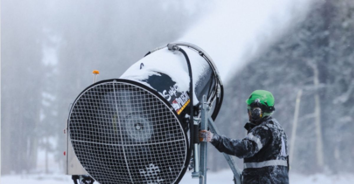
As resorts take action, an uncomfortable truth emerges: even aggressive snowmaking cannot sustain operations during multi-month droughts. Hoodoo’s snowmaking system needs water temperatures below 28 degrees Fahrenheit and humidity below 85%—conditions December’s warmth made impossible for weeks.
Mt. Bachelor’s expanded snowmaking (added 2024) burns through 50–70 gallons per minute per gun, needing permits for 500+ million gallons yearly. During drought years, water agencies restrict snowmaking permits more strictly.
NOAA climate models predict December warm spells will happen in 60% of winters by 2035. Resorts face a math problem: snowmaking profits assume 50+ operating days; if warm weather cuts that to 20, profits disappear.
Expert Skepticism Hardens
Hydroclimatologists quoted on January 7–8 offered cautious views on the significance of the January storm. “One storm doesn’t reverse a two-decade trend,” said Dr. John Stevenson of OSU’s College of Agricultural Sciences.
“The January event helps operationally but means little climatologically.” NOAA’s regional drought monitor, updated on January 7, still lists the entire Oregon Cascade Basin as “D2 Drought”—a severe drought status. The monitor won’t improve unless snowpack reaches 80% of normal by April 1 and spring precipitation hits seasonal averages.
Early-season forecasts from January 6 suggested a 55% chance of below-normal spring precipitation. Experts view this storm as temporary relief, not a lasting solution.
The Question That Lingers
As Oregon celebrates the January 7 winter storm and ski resorts prepare to open their doors, a more pressing question shadows the relief: Does this mark the returnof winter, or just a pause in decades of Pacific Northwest hydrological change?
The storm hits when climate science suggests individual extreme events—whether December’s warmth or January’s cold plunge—become the new normal, replacing the stable winters that built the ski industry. Resorts bought time through snowmaking and strategic shifts.
Water managers bought time through January snow. But one question remains: How many December-like warm spells can the system handle before adaptation itself becomes impossible? The January storm answered one question. It raised a bigger one.
Sources:
National Weather Service Winter Storm Warning, January 7, 2026
NOAA Climate Prediction Center, various reports, January 2026
Oregon State Climatologist Larry O’Neill statements and memos, Capital Press, January 5-6, 2026
KTVZ news coverage, December 10, 2025 through January 7, 2026
Hoodoo Ski Area official statements and press releases, January 7-8, 2026
Mt. Bachelor communications and operational reports, January 6-8, 2026