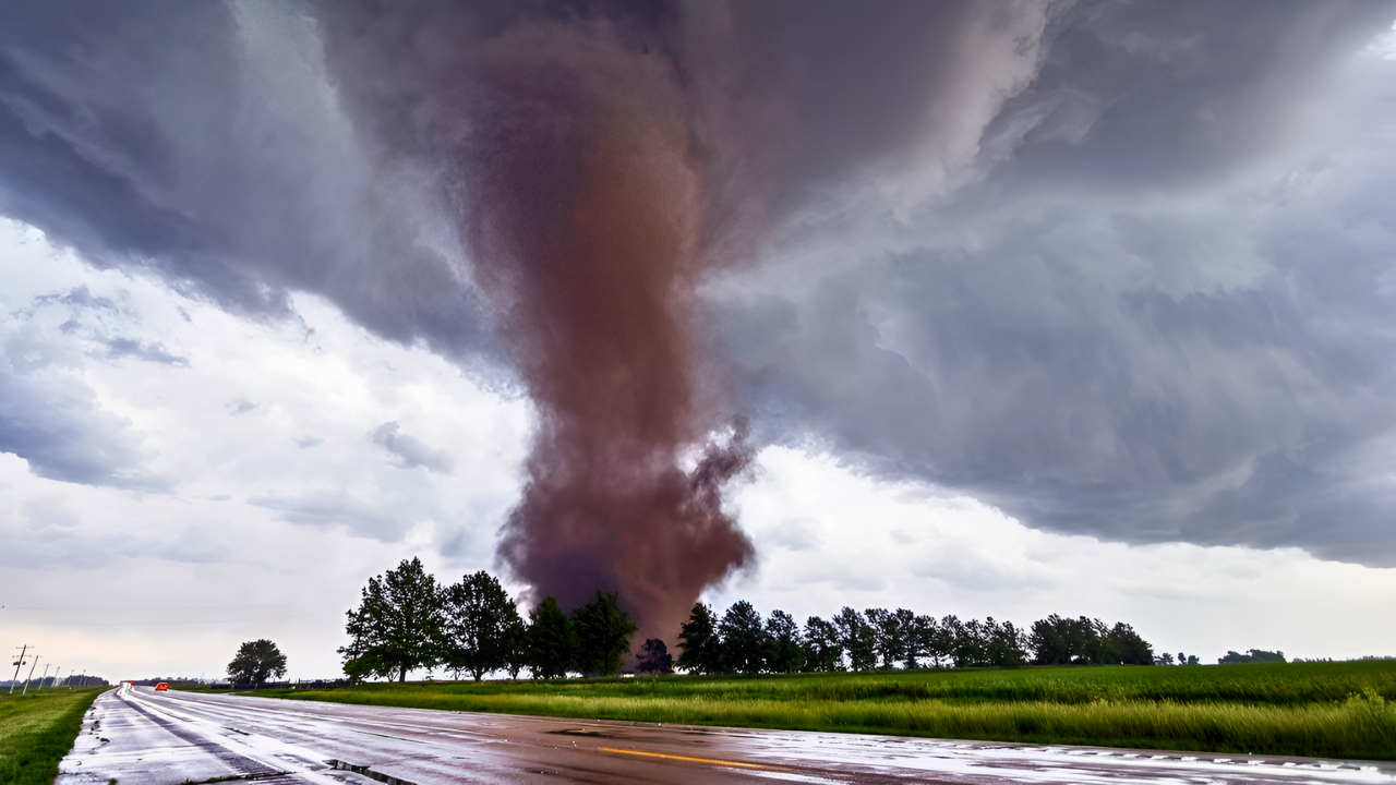
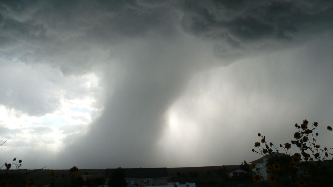
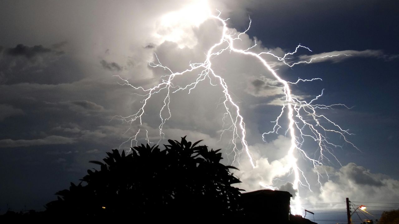
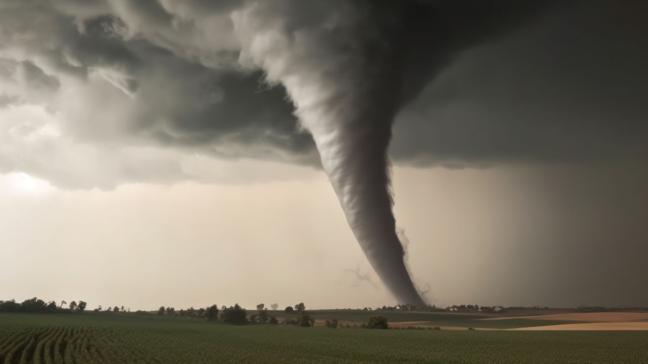
Dark thunderclouds are already building across California as rain bands push inland and weather radar fills with fast-moving cells. Forecasters say the same winter storm soaking highways and mountain passes is also creating conditions for rotating thunderstorms—an unusual setup for late December.
Brief tornadoes or waterspouts are possible as the system strengthens, unfolding just as millions prepare for holiday travel. This marks only the opening phase of a longer, multi-day weather threat.
A Locked-In Four-Day Setup
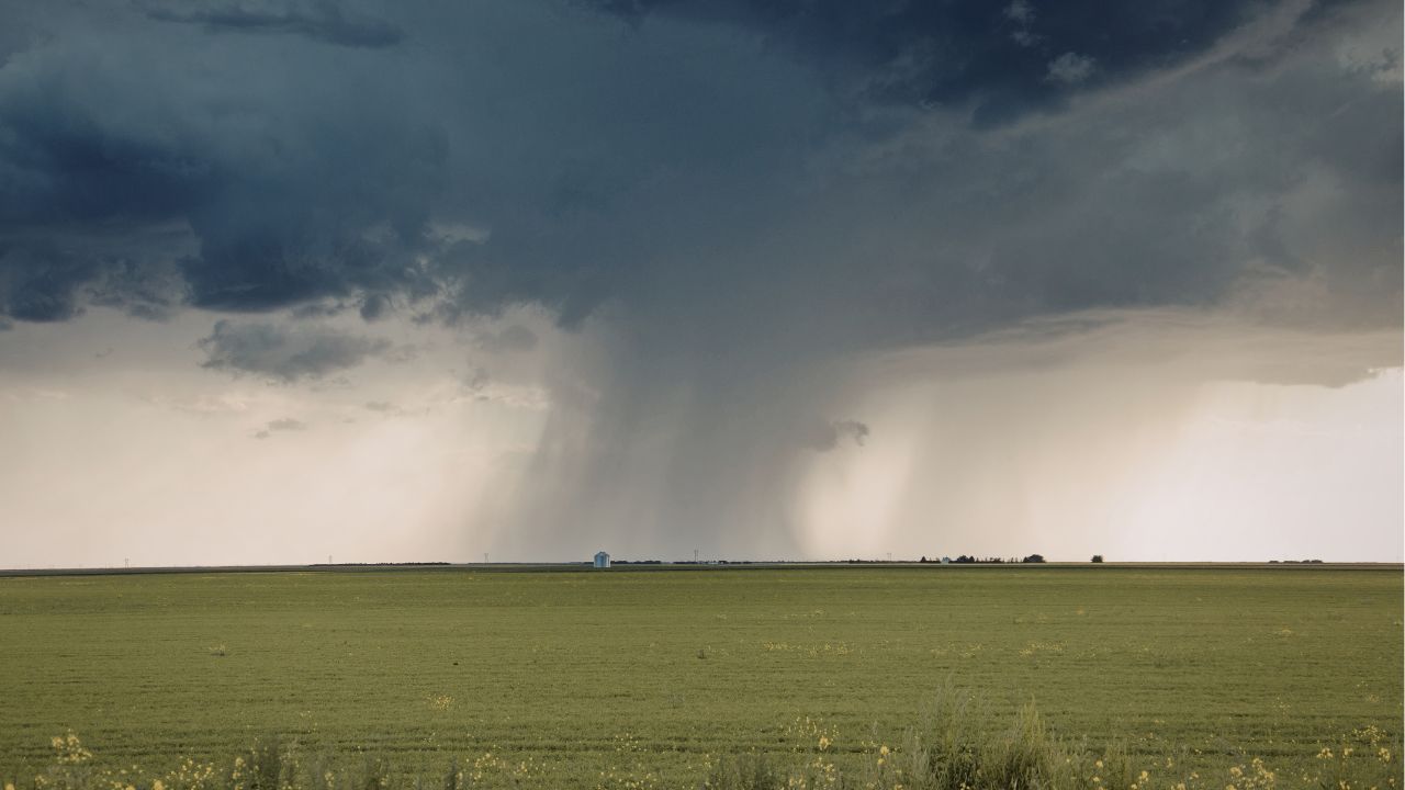
Meteorologists have identified a defined four-day window, from Tuesday night through Friday, when severe weather ingredients repeatedly align. A deep Pacific low far southwest of San Francisco is pulling in subtropical moisture while colder Arctic air moves overhead.
That clash creates instability and strong wind shear—key ingredients for rotating storms. Unlike a single outbreak, this setup allows multiple rounds of thunderstorms over several consecutive days.
California’s Tornado Reality
California is not tornado-free. Data from NOAA show the state averages about nine tornadoes per year, most weak and short-lived. Many form in the Central Valley or along the coast during cool-season storms.
While these tornadoes rarely resemble long-track Plains events, they can still flip vehicles, damage homes, and cause injuries—especially when they strike populated areas with little warning.
A December Wake-Up Call
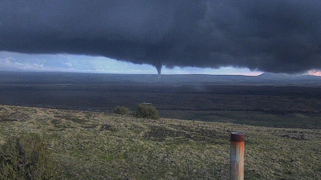
The risk became tangible earlier this month when a tornado struck Scotts Valley in Santa Cruz County on December 14. According to National Weather Service damage surveys, the EF1 tornado produced winds near 90 mph, flipped vehicles, damaged buildings, and injured several people.
It formed within a winter storm pattern similar to the one now developing offshore, underscoring how routine Pacific storms can briefly turn dangerous.
Why This Window Matters
Forecasters describe the current forecast as a clearly defined multi-day tornado window. From Tuesday night through Friday, Storm Prediction Center convective outlooks place parts of California under marginal or higher severe thunderstorm risk.
Climate scientist Daniel Swain has noted the setup is “the most favorable setup for more than a couple waterspouts/brief tornadoes than I’ve seen in quite some time in this part of the world.” Repeated storm waves mean the threat does not quickly pass after a single round.
Bay Area and Valley Hotspots
The San Francisco Bay Area and much of the Central Valley stand out as concern zones. Forecasters flagged severe thunderstorm potential days in advance—an uncommon step for the region.
San Francisco was placed under a marginal severe risk designation three days prior to the main severe weather window, the first such advance designation for the city in more than a decade.
In the Central Valley, Wednesday afternoon and evening appear most concerning as wind shear overlaps modest instability.
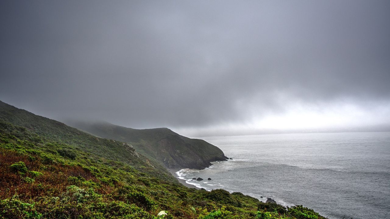
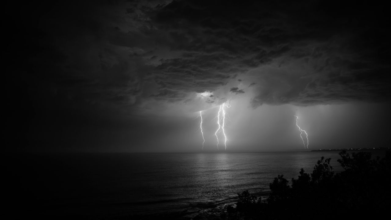
Coastal Waterspout Risk
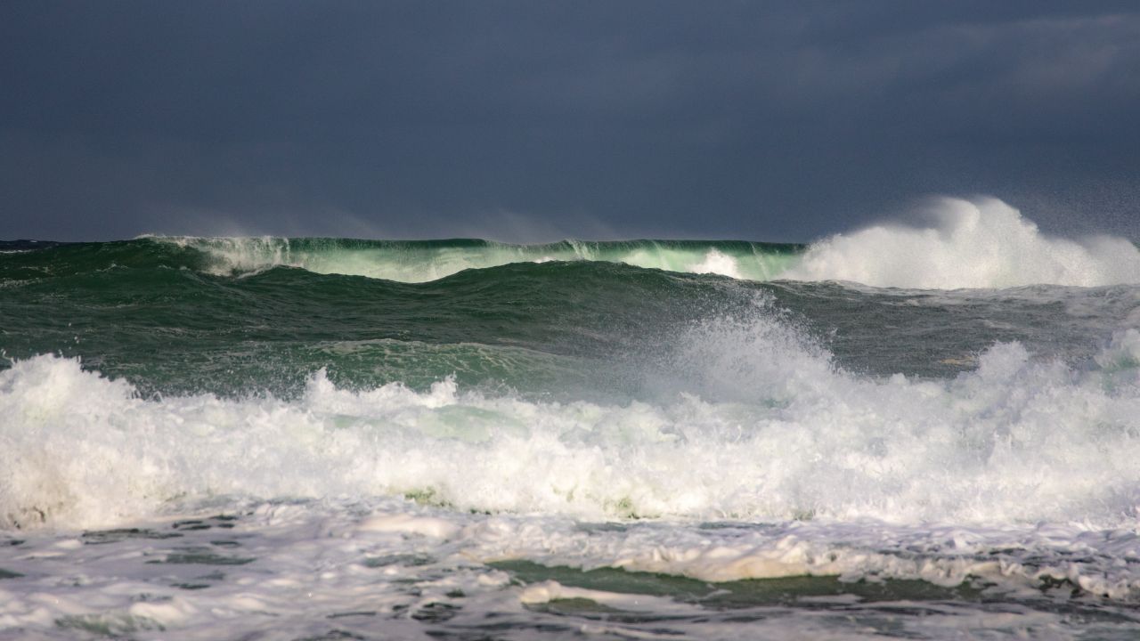
Along the coast, cold air aloft combined with strong showers favors waterspout formation offshore. Some of these rotating columns can move inland as brief tornadoes. From Crescent City to near Los Angeles, forecasters highlight renewed coastal risk late Christmas Eve into Christmas Day.
Marine traffic, coastal highways, and beach communities could see rapidly changing conditions, including sudden wind shifts and intense downpours tied to rotating storms.
Storm System Exposure
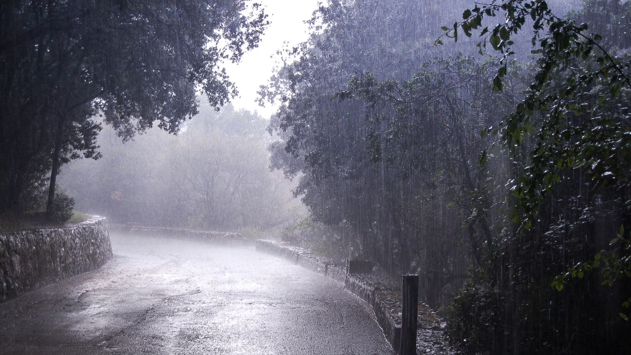
California is home to approximately 39.5 million residents. The major winter storm system affecting the North Coast, Bay Area, Central Valley, and Southern California will expose most residents to impacts such as heavy rain, strong winds, thunderstorms, or combinations thereof.
The tornado threat affects a smaller subset of the population in areas under marginal severe risk, primarily coastal and inland valley corridors—prompting broad preparedness messaging.
What “Alerts” Really Mean
The National Weather Service signals risk through multiple layers. Storm Prediction Center convective outlooks identify areas where tornadoes are possible, while local offices monitor radar for rotation and hook echoes.
If storms intensify with confirmed rotation, tornado watches or warnings may be issued. Early convective outlooks serve as alerts for emergency managers and the public, signaling unusually favorable conditions well before storms actually form.
A Rare Bay Area Signal
One detail stands out in this forecast: San Francisco was placed under a marginal severe thunderstorm risk designation three days in advance.
That has not happened in more than a decade. Such early designation reflects high confidence that atmospheric conditions could support rotating storms near a major metro area. While common in the central U.S., this type of advance signal remains rare along the Pacific Coast.
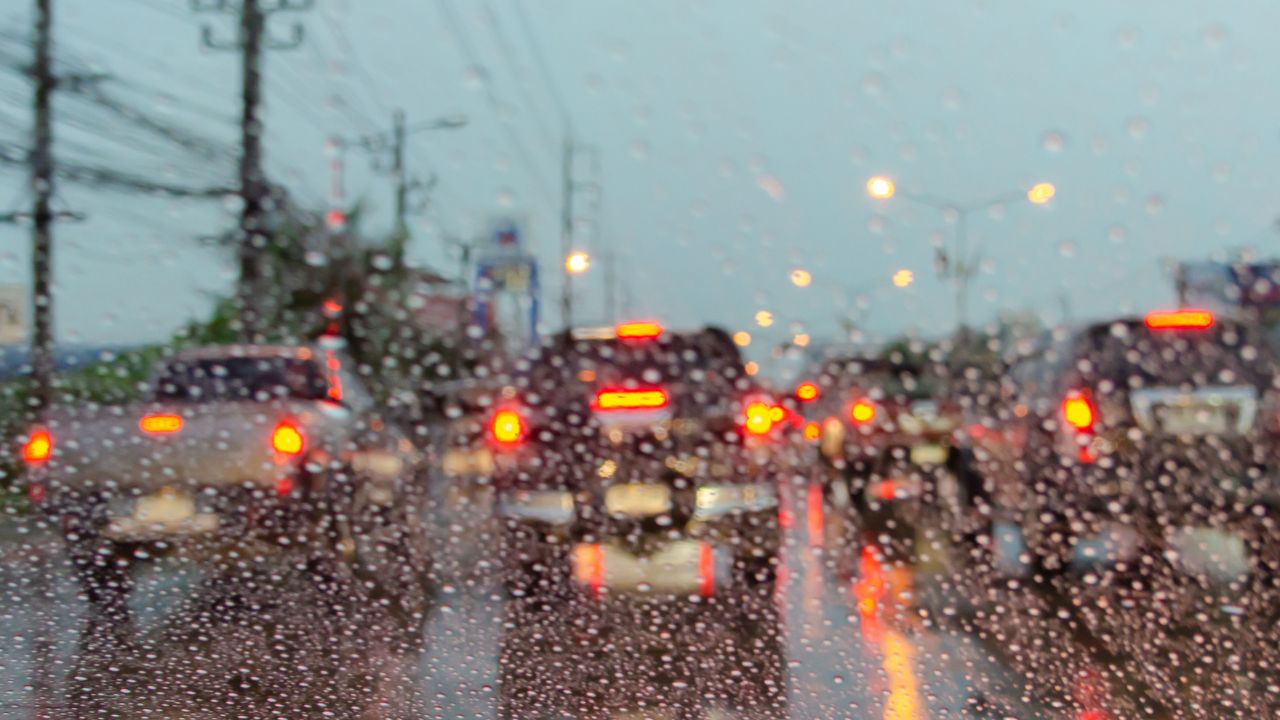
Holiday Travel Complications
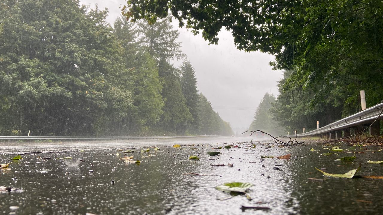
The four-day severe weather window overlaps peak holiday travel. Heavy rain threatens flooding and slick roads, while strong winds increase the risk of downed trees and power outages.
Brief tornadoes add another layer of concern along major routes such as Interstate 5 and Highway 101. Officials urge travelers to monitor forecasts closely and remain flexible, particularly during overnight and early-morning travel periods.
Emergency Managers on Alert
Emergency management agencies across California are using multi-day forecasts to prepare. Counties are reviewing shelter plans, coordinating with utilities, and preparing for localized damage.
Messaging emphasizes signing up for Wireless Emergency Alerts and local notification systems. Because tornado warnings may offer only minutes of lead time, preparedness before storms arrive is critical to reducing injuries and response delays.
Why Scientists Are Watching Closely
Meteorologists view this event as a textbook example of how Pacific storms can briefly mimic Plains-style dynamics. Subtropical moisture, strong wind shear, and cold air aloft rarely overlap this clearly over California.
Researchers will study radar signatures, satellite data, and damage reports to better understand how West Coast tornadoes form and how forecasting can improve during similar winter setups.
Understanding the Limits
Despite the elevated risk, forecasters stress uncertainty remains. A marginal risk does not guarantee tornadoes. Many storms may produce only heavy rain or gusty winds. Individual locations within the broader storm area still face relatively low odds of tornado impacts specifically.
Communicating that balance—remaining alert without assuming a widespread outbreak—is one of the biggest challenges during events like this.
Why This Event Matters
Unlike single-day outbreaks, this pattern allows multiple storm rounds, each bringing renewed chances for rotating thunderstorms. Even if one day passes quietly, the threat can return with the next wave.
Nighttime storms further increase risk due to reduced visibility and limited warning awareness. Whether tornadoes ultimately form or not, the event reinforces that California’s winter threats extend beyond rain, wind, and snow.
Sources:
“California storm raises rare threat: long-lasting tornado risk.” San Francisco Chronicle, Dec. 23, 2025.
“Flash flood, thunderstorm alerts in effect for California with heavy rain.” ABC News, Dec. 23, 2025.
“Scotts Valley Tornado December 14, 2024.” National Weather Service, April 16, 2025.
“Severe storm alert as the holidays arrive.” ABC News, Dec. 24, 2025.