The Weather Channel’s early outlook for winter 2025–2026 paints a somewhat uncertain picture for New York State: one of messiness and unpredictability.
Instead of the predictably cold patterns most residents expect, forecasters warn of intense swings between warmth and chill, driven by a weak La Niña—a Pacific Ocean pattern marked by calmer waters that disrupt standard weather patterns across North America.
Depending on timing, some upstate areas could see nearly 100 inches of snow, while the coast stays relatively mild. Meteorologists add a cautionary note: one big nor’easter storm could upend the entire forecast.
Because the new La Niña alters jet stream flow, New Yorkers can expect a patchwork season marked by extremes rather than steadiness.
La Niña Returns
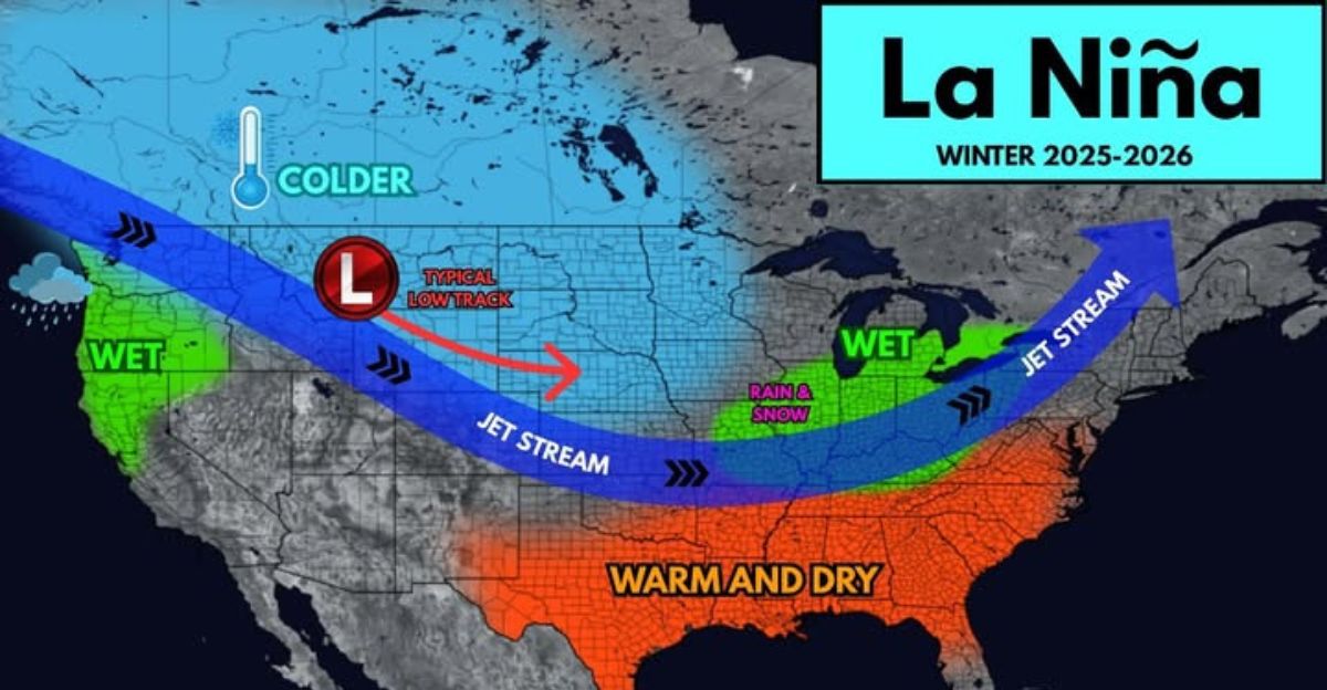
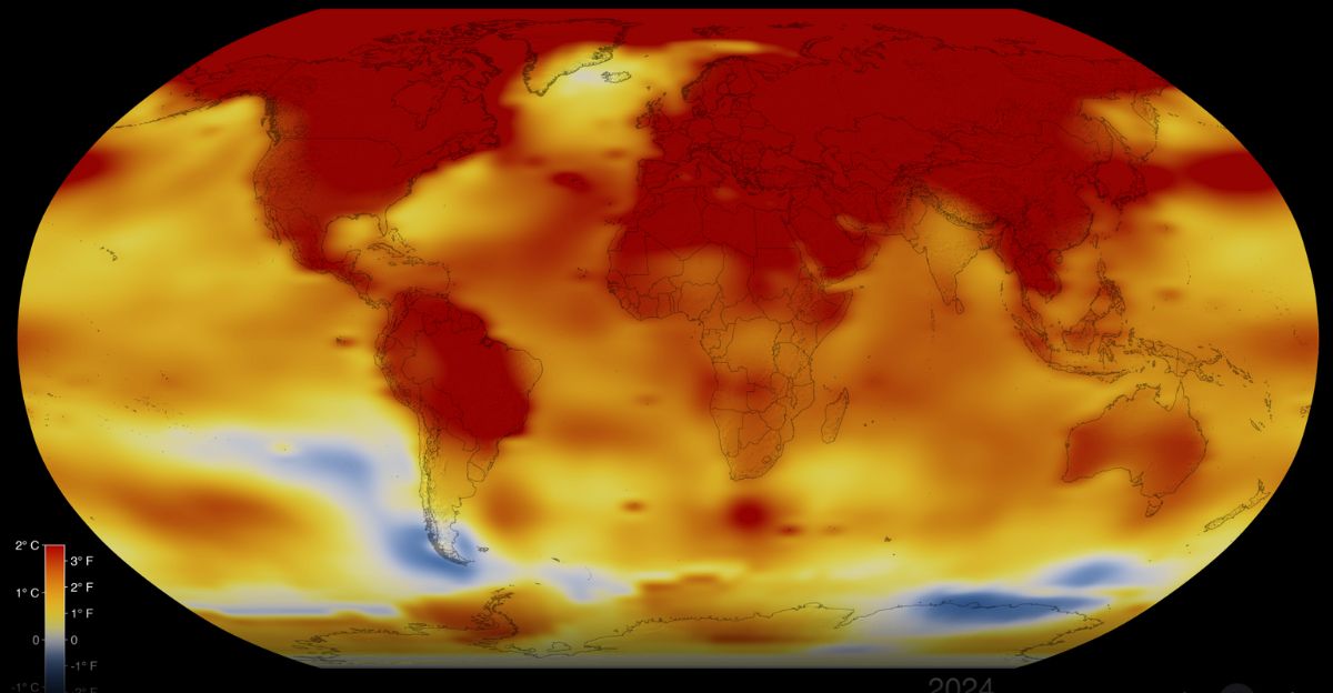
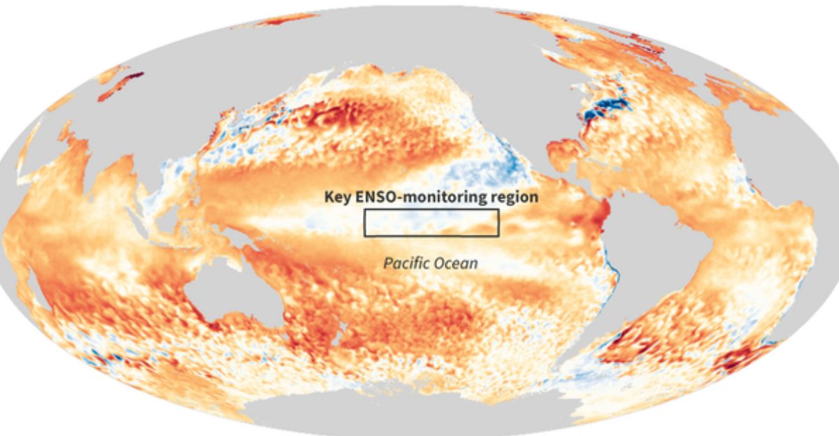
NOAA officially confirmed the return of La Niña in September 2025. This event, caused by cooling Pacific waters near the equator, influences weather patterns worldwide.
The current La Niña is considered weak, with temperature drops of approximately half a degree Celsius below normal; however, even small changes can have significant effects. Historically, weak La Niñas create less consistent outcomes than stronger ones, complicating long-range forecasts.
According to NOAA meteorologist Jon Gottschalck, the most critical impacts of this La Niña will be evident during winter, although its short lifespan adds another layer of uncertainty. In short, the pattern might fade early, but not before shaking up the cold season ahead.
November’s False Security
November could give New Yorkers a false sense of calm. AccuWeather and The Weather Channel predict a warm, sunny start across much of the East Coast.
Days will feel more like early autumn than pre-winter. However, forecasters warn that warmth early on usually leads to greater volatility later. Historically weak La Niña seasons often experience sudden 25°F temperature drops and extreme storm variability starting in December.
Those who delay winterizing their homes, cars, or heating systems might pay the price once cold air suddenly arrives. It’s the calm before the chaos.
Above-Average Precipitation
Prepare for more rain and snow overall. NOAA’s winter outlook shows a 40%–50% chance of above-normal precipitation for much of central and western New York, with slightly lower odds across the Hudson Valley and Albany area.
The pattern originates from La Niña’s tendency to push the jet stream farther north, resulting in frequent storms along the northern U.S., while the South remains drier.
When temperatures hover near the freezing point, increased moisture often fails to produce more snow.
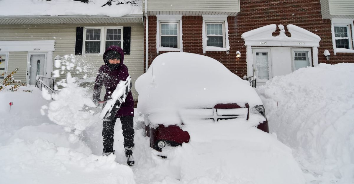
Expect heavy snow and ice events throughout December and January, resulting in some challenging travel conditions.
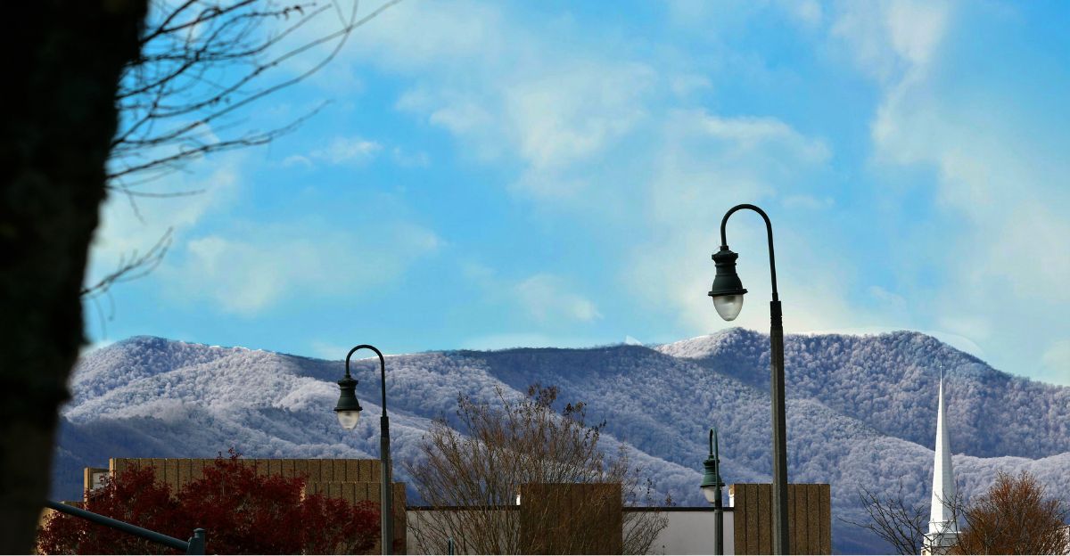
Buffalo Buries Under 100 Inches
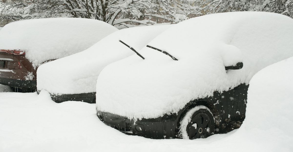
Snow lovers in Buffalo should brace themselves: the city could see close to 100 inches this season, fueled by powerful lake-effect snow.
AccuWeather says cold air blowing across the warmer waters of Lake Erie will generate frequent heavy snow bands in December and January.
Snowfall rates may hit 3–4 inches per hour during intense bursts. This outlook far surpasses last winter’s modest 77.6 inches and reminds residents of Buffalo’s legendary snowbursts.
Farther southeast, New York City should expect only around 20 inches, showing just how wildly winter varies across the state.
Temperature Paradox
Strangely, forecasters expect this winter to feel milder on average, even though it might feature several snowstorms.
NOAA’s models show above-normal temperatures for much of New York. Yet these same forecasts predict above-average precipitation. What gives? Warm months skew overall averages higher, but when brief blasts of Arctic air hit, heavy snow can still pile up.
Meteorologist Nick Gregory of Fox 5 NY calls it classic weak La Niña behavior: “Mild overall, but colder early on.” The result? A winter that feels unpredictable, one week balmy, the next frigid.
Heating Bill Headaches

This year’s rollercoaster weather could make household heating bills harder to predict. Utility companies warn that fluctuating temperatures, which require heaters to cycle frequently, can lead to increased energy consumption.
While New York utilities pre-purchased much of their natural gas supply to stabilize costs, unstable weather patterns still pose a risk of higher spot prices.
Approximately 1.4 million New Yorkers already struggle to pay their heating bills, so the combination of mild days and cold snaps could further strain their budgets.
Experts advise residents to budget extra for fuel and schedule furnace maintenance early in the year.
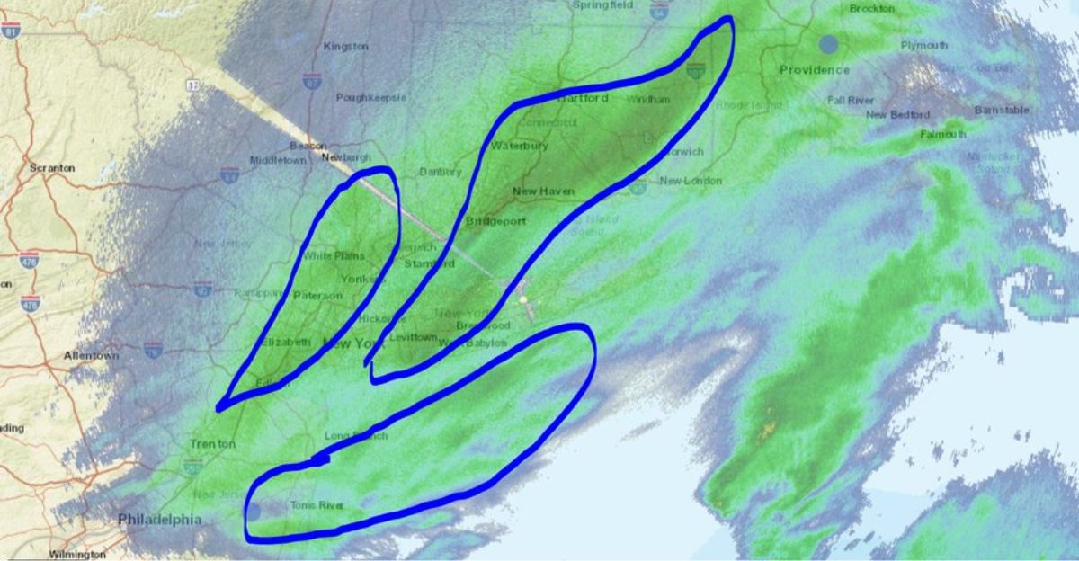
Commuter Chaos Looms
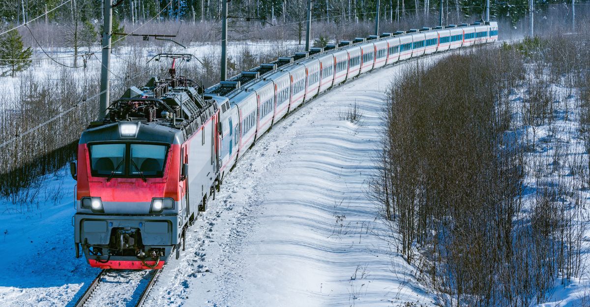
Commuters beware. AccuWeather predicts “bookend storms”, significant events in early and late winter that could hammer major corridors like Interstate 95, the New York State Thruway, and Metro-North lines.
Mixed rain and snow late in the season may also cause icy roadways hidden beneath fresh snow. Weak La Niña years can bring multiple nor’easters that drop two feet or more of snow across densely populated East Coast cities.
Transit agencies and schools may face tough choices on closures and delays throughout the winter. For everyday travelers, flexibility is key this year.
Winter of Uncertainty
Forbes meteorologist Jim Foerster calls this “a winter of uncertainty.” Everything depends on how long the weak La Niña lasts and how quickly it transitions back to neutral conditions.
If it fades by midwinter, storm paths and temperature patterns could shift dramatically by February. The last few weak La Niñas brought unpredictable seasons. The 2021–22 season experienced frequent snow bursts, whereas 2024–25 was generally mild.
The main takeaway: don’t rely on trendlines. Expect the unexpected, plan for both snow and warmth, and stay flexible.
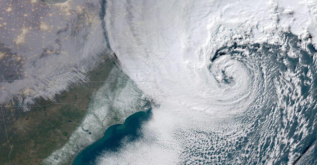
One Nor’easter Changes Everything
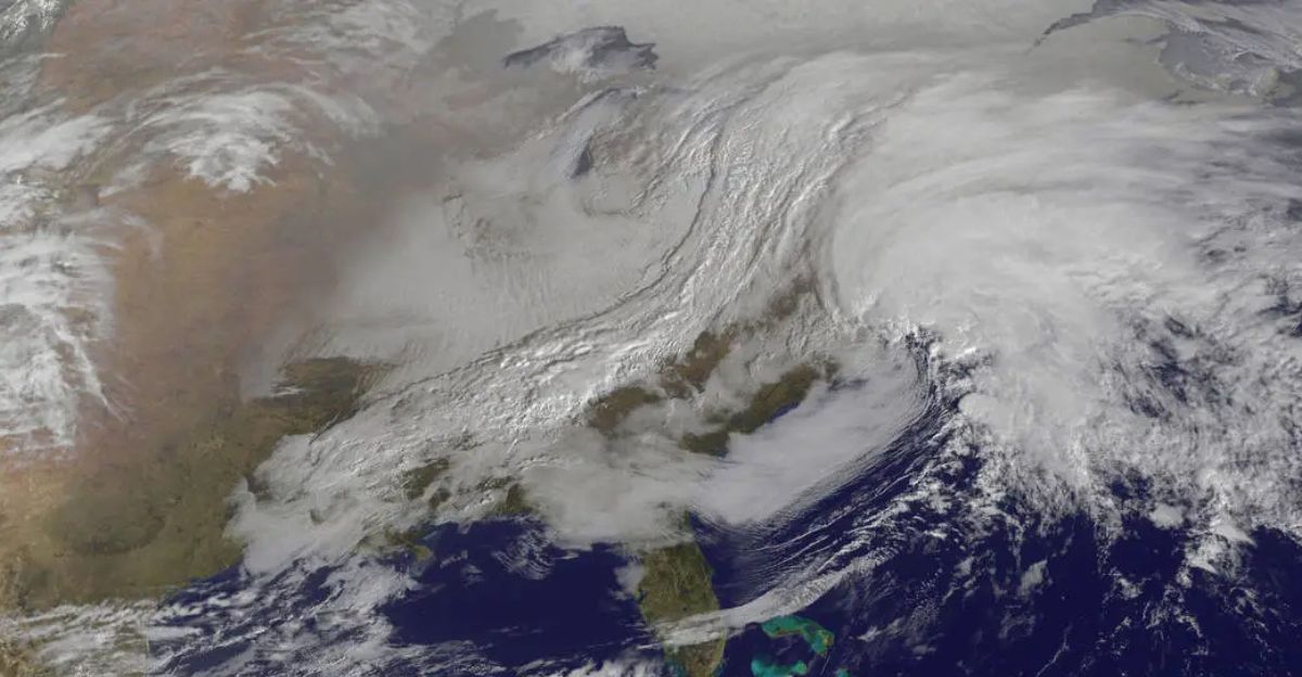
The Weather Channel warns that a single powerful nor’easter could define the season. These massive coastal storms, formed when warm Gulf air meets creeping Arctic cold, can dump 2–3 feet of snow within 24 hours.
The March 1993 “Superstorm” and 2015 Boston blizzards are classic examples. For 2025–26, even one such event could alter the winter narrative overnight, transforming a mild season into a record-breaking one.
Emergency planners across New York remain on alert for rapid-response situations, especially if a storm develops along the East Coast corridor.
First Snowfall Fast Approaching
When will the first flakes fall? Historical averages indicate that Buffalo and Syracuse typically see measurable snow by early November, Albany by mid-November, and New York City by late November or early December.
Meteorologists say La Niña could bring early snow or delay it until later in the season.
Albany, for instance, once saw measurable snow as early as October 4. Meteorologists caution residents not to rely on averages this year. The pattern could change abruptly, meaning snow might pile up with shorter warning than usual.
Forecasting Battle
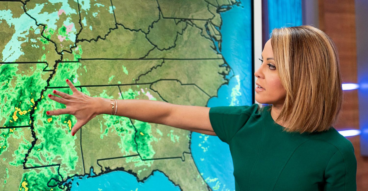
If forecasts sound confusing this year, you’re not imagining it. NOAA’s official outlook indicates above-average temperatures for most of the state, while the Farmers’ Almanac predicts a colder, snowier season.
These conflicting views stem from opposing methods: NOAA uses global computer models and atmospheric data, while almanacs rely on long-used formulas based on planetary and solar cycles.
Both could be right in part, and both could be wrong. Weak La Niñas rarely play by the rules, keeping all forecasters humble.
Almanacs Versus Science
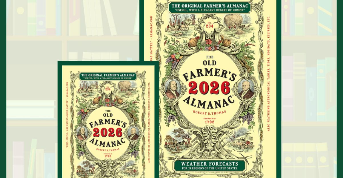
The “forecast fight” is now an annual tradition. The Old Farmer’s Almanac predicts a relatively calm and mild winter, while the Farmers’ Almanac calls for “dramatic swings” and “chill-snow-repeat” storms.
Each claims an 80% success rate, though scientists treat these figures skeptically. NOAA and AccuWeather, utilizing satellites and climate models, provide probabilistic data rather than poetic predictions. Yet this year, all admit their limits.
Weak La Niñas cause noisy signals, making 2025–26 one of the most challenging winters in decades to predict in advance.
Variable Pattern History
Examining past weak La Niñas offers insight, but not certainty. NOAA’s climate records show these winters flip unpredictably between mild and cold, with little consistency.
The Great Lakes often get more snow, while coastal areas like New York City tend to get less. The Hudson Valley and interior New England may fall somewhere in between.
In short, if the past is any guide, this year’s outcome may vary wildly even from county to county, reinforcing the Weather Channel’s messy description.
Spring 2026 Outlook
NOAA forecasts La Niña will fade by late winter. NOAA expects neutral conditions to return by March 2026, with a 55% probability. However, this transition period often brings its own instability.
Spring 2026 may start warm, yet March could still deliver late-season snow, especially in northern and higher-elevation areas.
Meteorologist Nick Gregory says, “Expect a milder spring overall, but don’t put away snow boots until mid-March.”
Climate Change Amplification
Climate change is adding another twist. A new study reveals that modern nor’easters are windier and wetter than those of the mid-century, making them more destructive.
As ocean temperatures climb, these storms carry more moisture, increasing risks of both blizzards and flooding. Meanwhile, warmer air raises the snow line, turning what might once have been snow into cold rain across southern New York.
This imbalance fuels the unpredictable mix of storms forecasted for this upcoming winter.
Great Lakes Connection
The Great Lakes remain the snow engines of upstate New York. When frigid air crosses the warmer waters of Lakes Erie and Ontario, it pulls up moisture and releases it as localized but intense snowfall.
Syracuse and Buffalo are most affected, with snowfall that can vary dramatically across neighborhoods just miles apart. Lake Erie may not freeze fully until late January, extending the snow window into February.
Meteorologists highlight lake effect as a key factor in the 100-inch Buffalo outlook, and one of the most consistent sources of heavy snow this season.
Social Media Speculation

Social media has turned winter forecasting into a battleground. Viral posts on X, TikTok, and Facebook hype dramatic “snowpocalypse” predictions, often without scientific backing.
In reality, there is no evidence to support claims of either record cold or record warmth. NOAA and The Weather Channel stress checking credible outlets, not influencer hype. Meteorologists worry that misinformation might cause panic or complacency.
Always follow week-ahead forecasts rather than clickbait predictions, they advise.
Winter 2022–2023
The winter of 2022–2023 serves as a reminder of what’s possible. It became one of New York City’s warmest winters on record, yet still featured isolated Arctic blasts that briefly froze the region solid.
Snow totals plummeted overall, but upstate saw erratic flurries that clogged roads for days.
If this coming winter mirrors the 2022–23 season, expect temperature whiplash, wet storms, and significant local differences from week to week.
Prepare for Anything

The final forecast for New Yorkers is simple: expect unpredictability. With a weak La Niña steering weather off balance, it won’t be the coldest or snowiest winter, but possibly one of the most inconsistent.
Residents should prepare for both snowstorms and warm spells, service their heaters, stock emergency kits, and keep shovels handy throughout the season. Buffalo should brace for frequent lake-effect snow while New York City needs to watch for icy nor’easters.
The most important advice? Stay flexible. This winter may not be about record-setting cold; it’s about adjusting to whatever arrives next.