On the eve of Thanksgiving, as millions of Americans packed highways across Michigan and the Great Lakes, meteorologists at the National Weather Service in Marquette tracked a rare and dangerous convergence of winter storms. Their warnings—phrased as “a storm to remember”—signaled a looming crisis for travelers and residents alike, as two powerful systems collided over Michigan’s Upper Peninsula, threatening to transform routine holiday journeys into a struggle for survival.
A Forecast Measured in Feet
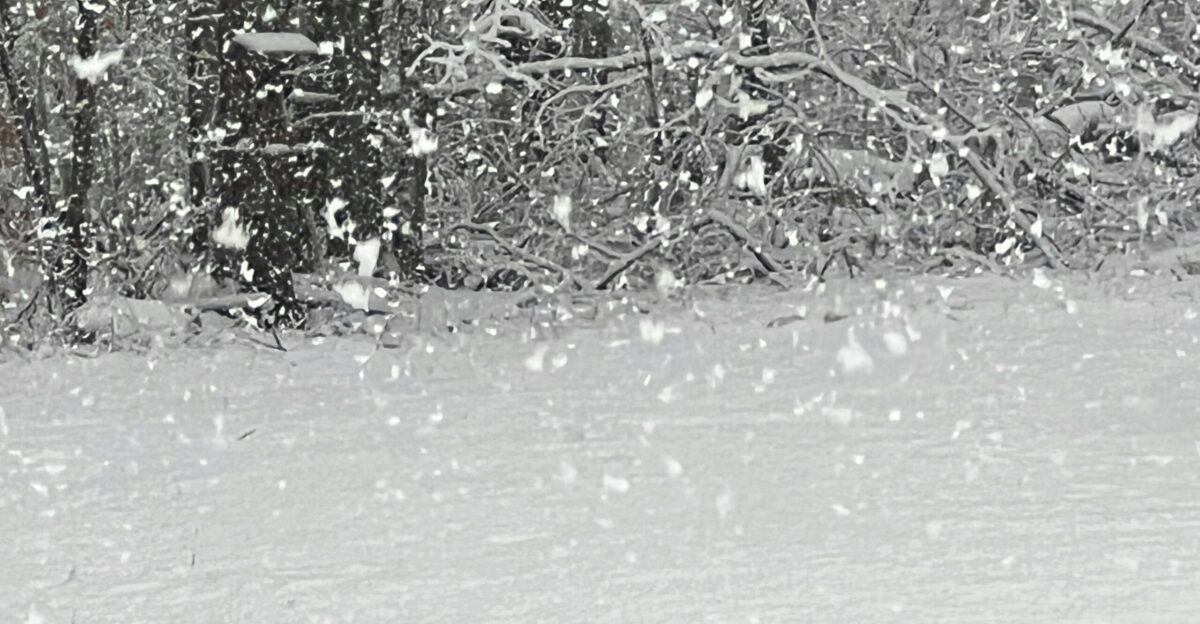
By Tuesday night, the Upper Peninsula braced for a relentless onslaught of snow. Meteorologists predicted widespread accumulations of at least a foot, with the hardest-hit snow belts expecting two to three feet by Thursday morning. In isolated, remote areas, totals could reach an astonishing 46 inches by Friday—enough to bury vehicles, homes, and entire neighborhoods in less than three days. The sheer volume of snow was only part of the threat; the speed at which it would fall posed an even greater danger. Forecasters warned of snowfall rates exceeding one inch per hour at the storm’s peak, rapidly overwhelming road crews and making highways impassable in a matter of hours.
Winds and Whiteouts: The Blizzard Threat
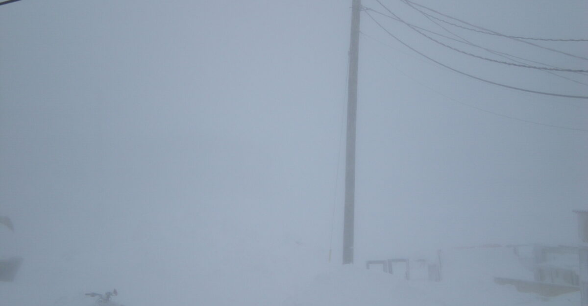
The storm’s severity was amplified by powerful winds sweeping across the Keweenaw Peninsula and elevated regions of Baraga County. Gusts topping 50 miles per hour, with sustained winds above 35 mph, were expected to last for hours on Wednesday. These conditions would transform falling and existing snow into blinding “ground blizzards,” reducing visibility to near zero and creating life-threatening travel conditions. The National Weather Service estimated a 30 to 50 percent chance that full blizzard criteria would be met in several counties, including Gogebic, Ontonagon, northern Houghton, and Keweenaw. While a formal blizzard warning had not yet been issued, forecasters closely monitored the storm’s evolution, ready to escalate alerts if conditions worsened.
A Rare Phenomenon: Thundersnow
Adding to the storm’s extraordinary nature was the possibility of “thundersnow”—a rare event where thunder and lightning erupt during a snowstorm. Meteorologists estimated a 10 to 15 percent chance of thundersnow developing across the north-northwest snow belts from Wednesday into Thanksgiving morning. This phenomenon requires a unique combination of strong updrafts over the relatively warm waters of Lake Superior and frigid air aloft. For many meteorologists, witnessing thundersnow is a once-in-a-career event, underscoring the storm’s exceptional intensity.
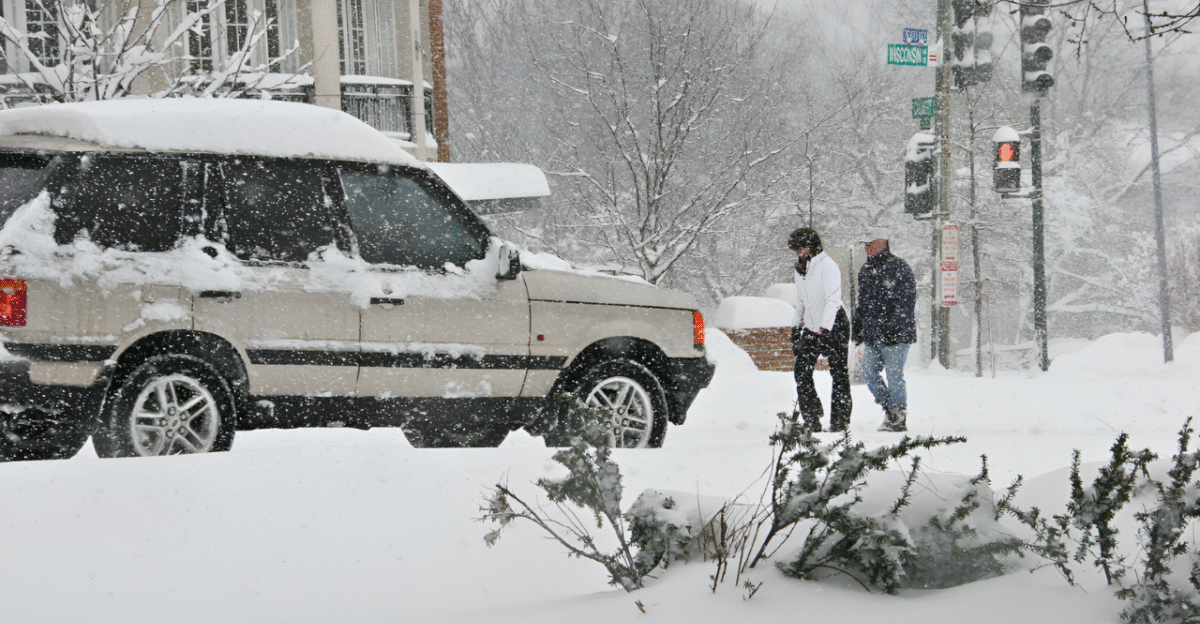
Travel Disrupted for Millions
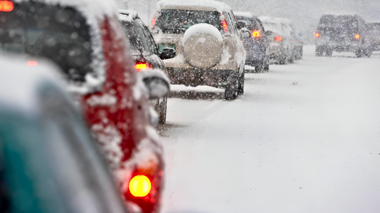
The timing of the storm could not have been worse. According to AAA, a record 81.8 million Americans were expected to travel at least 50 miles from home during Thanksgiving week, with nearly 90 percent—about 73 million—traveling by car. In Michigan alone, 2.6 million residents planned to travel, joined by hundreds of thousands more from neighboring states funneling through the Great Lakes region. Major transportation corridors, including Interstate 75 and US Route 2, were set to become danger zones, with whiteout conditions and impassable stretches likely from Tuesday night through the holiday. State police and emergency officials prepared for a surge in disabled vehicles, accidents, and stranded motorists as the storm’s peak coincided with the busiest travel window of the year.
Communities in the Crosshairs
The Upper Peninsula, home to roughly 300,000 residents, sat directly in the storm’s bullseye. Towns from Marquette to the Keweenaw Peninsula faced the heaviest snow and most intense winds, with winter storm watches and warnings in effect across the region. The area’s remote geography and limited escape routes heightened the risk for those caught in the storm. Power outages were a major concern, as heavy snow and violent winds threatened to leave 10,000 to 20,000 customers without electricity—potentially for hours or days—during subfreezing temperatures. Meanwhile, Lake Superior’s shoreline braced for high waves, minor flooding, and beach erosion as gale warnings were issued.
A Prolonged Siege
While the main window for the heaviest snow and strongest winds was expected on Wednesday, the threat would not end with Thanksgiving. Lake-effect snow, fueled by cold air sweeping over Lake Superior, was forecast to persist through Friday morning, potentially adding another foot of accumulation in some areas. For many, this would mean a 72-hour siege of hazardous conditions, with travel remaining dangerous or impossible well beyond the holiday.
A Stark Choice for Travelers
The National Weather Service’s message was clear: Tuesday offered the last safe window for travel before conditions deteriorated dramatically. Those unable to leave before the storm’s arrival were urged to postpone plans until after Thursday evening, when conditions were expected to improve gradually. For residents and travelers alike, the choice was stark—move now, or prepare to shelter in place and weather a Thanksgiving storm that could be remembered for years to come.