
Two powerful winter storms are lining up to hit the United States in early January 2026, creating a rare, five‑day run of severe weather from coast to coast. From the deserts of the Southwest to the rocky shores of New England, forecasters expect severe thunderstorms, flash flooding, heavy mountain snow and damaging winds to arrive in quick succession.
Meteorologists say this is not a routine winter system but a multi‑hazard event that will test warning systems and local readiness. Millions of people are in the projected impact zone, and officials urge residents to stay weather‑aware, check local alerts often and be ready to adjust travel and outdoor plans through the weekend.
Coast‑to‑Coast Threat

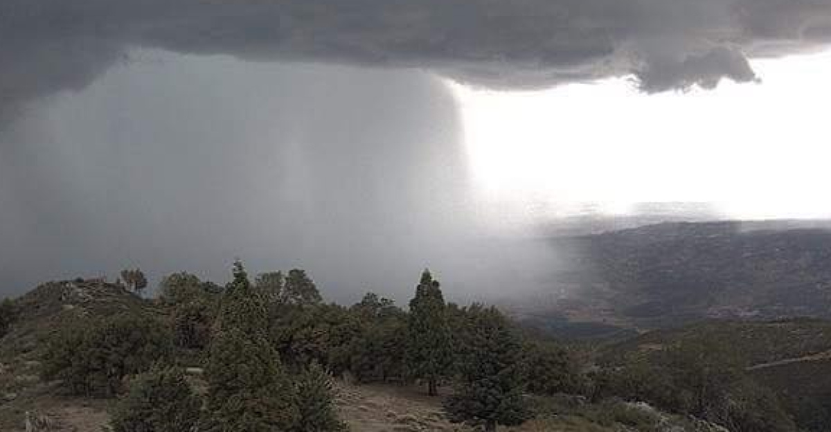
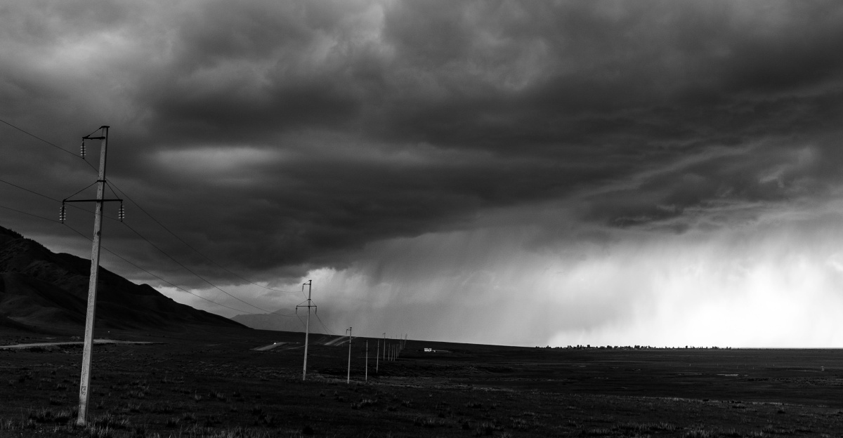
The first storm is forecast to develop over the Four Corners region, where Arizona, New Mexico, Utah and Colorado meet, before sweeping into the Plains and Midwest. As it moves east, it will bring bands of heavy rain, strong thunderstorms and mountain snow to states along its path. Close behind, a second low‑pressure system is expected to form and track along a similar route, reinforcing the threat and extending the period of hazardous weather.
By Friday, forecasters expect rain and storms to spread into the Tennessee and Ohio Valleys and the Mid‑Atlantic, with impacts reaching New England by Saturday. FOX Weather reports that computer models are now in stronger agreement that two distinct storms will cross the country back‑to‑back, turning what is often a quiet early‑January stretch into a high‑impact week.
First Big Cross‑Country Storms of the Year

Weather experts say these are the first major cross‑country storm systems of 2026, marking a sharp change from the calm that opened the new year. Forecast guidance shows the pair organizing between January 7 and 8, then moving east across the country through around January 11, putting them firmly in the “early‑year” category. That timing makes them 2026’s opening multi‑day, coast‑to‑coast outbreak of hazardous weather, combining severe storms, flooding rain, heavy snow and strong winds.
FOX Weather notes that earlier in the week some models suggested just one storm, but newer runs clearly show two distinct areas of low pressure crossing the nation in sequence. For forecasters, that shift underscores how quickly the pattern has ramped up.
Warm Air, Dry West Raise the Stakes

Several background factors are making these storms more dangerous. Unusually warm, moisture‑rich air from the Gulf of Mexico is surging northward, feeding energy into thunderstorms and boosting rainfall rates over the Deep South and Tennessee Valley.
At the same time, the West is dealing with what meteorologists call a snow drought. In Salt Lake City, for example, only about 0.1 inch of snow has been recorded so far this season, one of the least‑snowy starts on record and more than 20 inches below average for this point in winter, according to Weather.com analysis.
Five Days, Many Dangers, 30 States

Forecasts now indicate that these twin storms will unleash a five‑day, multi‑hazard onslaught touching more than 30 states from the Southwest to New England. Severe thunderstorms with damaging winds and possible tornadoes will threaten the Deep South and parts of the Mississippi and Tennessee Valleys. Flash flooding is a major concern where storms repeatedly pass over the same areas, while heavy snow is expected in mountain regions and parts of the Upper Midwest.
Over the Great Lakes, especially around Lake Erie, strong winds and large waves will add marine and shoreline dangers. FOX Weather reports that two back‑to‑back storms will bring rain, snow and severe weather to “millions across more than 30 states,” with some communities likely to be hit twice along nearly the same track.
South and Tennessee Valley Face Soaking Rains
The Lower Mississippi and Tennessee Valleys are in line for some of the heaviest rain of the entire event. NOAA’s Weather Prediction Center has highlighted a Level 2 of 4 excessive‑rainfall risk for parts of Middle Tennessee, northeast Mississippi and northern Alabama, meaning scattered flash flooding is possible where storms train over the same areas.
Forecasts call for widespread totals of 2 to 3 inches, with local amounts near 5 inches where downpours repeat. An iHeart/FOX affiliate summary notes that a Level 2 out of 4 threat for flash flooding covers metro areas like Nashville and Huntsville as the second storm adds to the first round of rain.
Flash‑Flood Danger Called Potentially ‘Catastrophic’

In some forecast discussions, meteorologists have warned that repeated heavy rain over drought‑hardened ground could lead to dangerous and catastrophic life‑threatening flash flood conditions in parts of the Tennessee Valley.
That strong language reflects concern about how quickly water can rise when soils are dry, hard and unable to absorb moisture efficiently. Fast‑responding watersheds funnel runoff into creeks and rivers in a matter of minutes, not hours, especially during nighttime storms when people are less aware of changing conditions. In similar events, the National Weather Service has stressed that most flood deaths occur in vehicles when drivers misjudge water depth and current strength on flooded roads.
Heavy Snow and 50 mph Gusts in the North and West
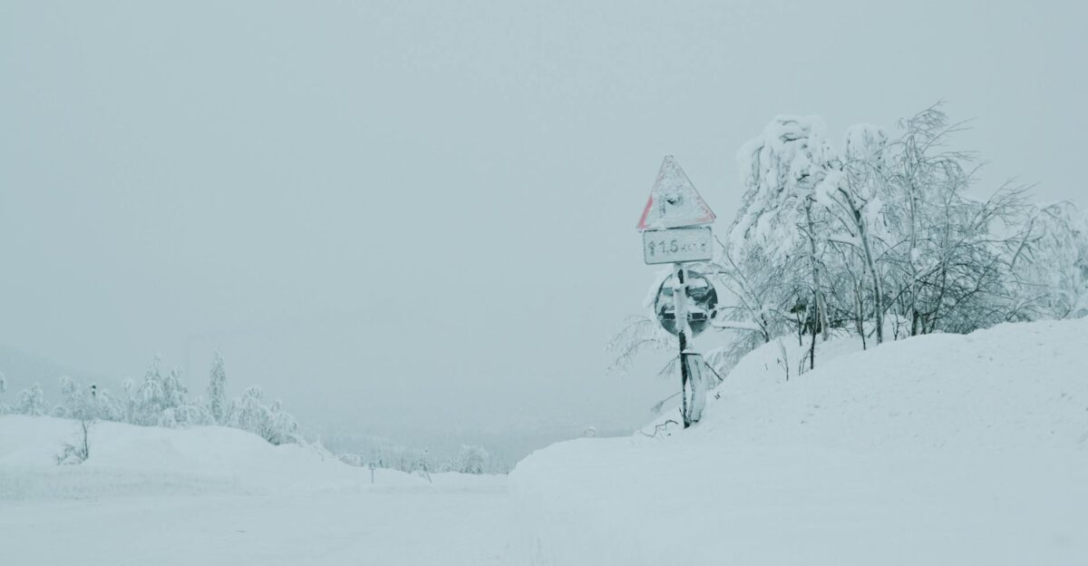
While the South battles flooding, winter will tighten its grip farther west and north. Winter weather alerts stretch more than 600 miles from the Four Corners through the central Rockies and toward the Upper Midwest, according to FOX Weather and NOAA advisories.
Higher elevations in the Rockies are forecast to receive 8 to 12 inches of snow, with locally higher totals in favored mountain ranges where upslope winds enhance snowfall. As the second storm deepens near the Great Lakes, parts of northern Michigan and the Upper Peninsula could see winds gusting to around 50 miles per hour, creating blowing snow and localized whiteout conditions on exposed roads.
Lake Erie Braces for Gale Winds and 14‑Foot Waves

The second storm is expected to churn up Lake Erie with powerful northwest winds behind its cold front, turning the lake into a dangerous zone for mariners and shoreline communities. Marine forecasts call for sustained winds of about 20 to 30 knots, with gusts potentially reaching gale force and pushing waves into the 7‑ to 14‑foot range from Saturday night into Sunday.
Similar events in the region have prompted the National Weather Service to issue Gale Warnings and Lakeshore Flood Advisories when strong onshore winds combine with high water levels. Under those conditions, shoreline flooding and erosion can damage infrastructure, while piers and breakwalls become hazardous places to stand.
Record Warmth Adds Fuel to Storms

Ahead of the cold front, warm, humid air will surge deep into the Ohio Valley and Great Lakes, creating spring‑like conditions in the middle of winter. In Toledo, meteorologists note that the January 9 record high of 59°F, set in 1880, could be challenged or broken, a 146‑year‑old mark.
FOX Weather says “record highs [are] possible as millions experience a surge in winter warmth” from the southern Plains into the Mid‑Atlantic. This warmth is more than a curiosity; it adds energy and moisture to the atmosphere, helping fuel stronger thunderstorms and heavier downpours along and ahead of the cold front. Climate scientists explain that warmer air can hold more water vapor, which often translates into more intense rainfall when storms form.
Salt Lake City’s Snow Drought Raises Concerns
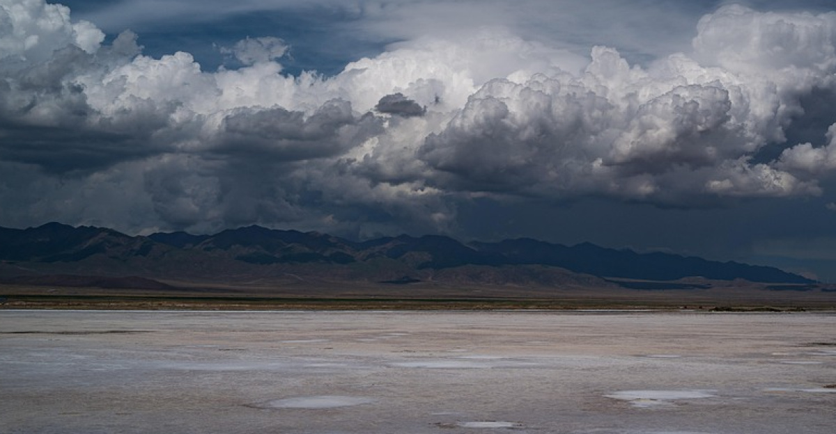
The twin storms are also colliding with an ongoing snow drought in the West, particularly around Salt Lake City. So far this season, the city has recorded only about 0.1 inch of snow at the airport, an extremely low total that Weather.com notes is the least snowy start since the late 19th century and roughly 20 inches below average for early January.
Much of that small amount came as graupel, a pellet‑like, icy form of snow that still counts in official statistics. With lower elevations bare, forecasters are watching to see whether incoming moisture finally delivers the city’s first significant blanket of snow or falls mainly as rain instead. For water managers, the difference matters. Traditional Western water supplies rely heavily on mountain snowpack that melts gradually in spring.
Severe Storm Risk for Millions Across the South
The Storm Prediction Center estimates that more than 8 million people fall under a Level 2 of 5 severe‑thunderstorm risk across parts of the Lower Mississippi and Tennessee Valleys during the peak of the outbreak. Cities such as Memphis, Jackson and Baton Rouge are included in this zone, facing the threat of damaging winds, hail and a few tornadoes as thunderstorms line up along the advancing front.
At the same time, heavy rain, snow and strong winds elsewhere mean tens of millions nationwide will experience some type of hazardous weather linked to the twin systems. FOX Weather reports that these back‑to‑back storms will bring rain and severe weather to more than 30 states over several days.
Flights, Highways and Holidays in the Crosshairs

Travel is expected to be one of the biggest vulnerabilities as the storms roll through. Heavy snow in the Rockies and Upper Midwest will slow or halt traffic over mountain passes and key interstate corridors, while flooding rain in the South and Midwest may close low‑lying roads and cause detours around high water.
Farther east, low clouds, strong crosswinds and thunderstorms near major airport hubs could lead to cascading flight delays and cancellations as crews and planes end up out of position. FAA and airline advisories during similar events have urged travelers to check their flight status frequently and consider rebooking when severe weather is likely along their route.
Calm Early Winter Gives Way to Stormy Pattern

In the weeks leading up to these storms, parts of the Southeast and central U.S. enjoyed a relatively quiet stretch of weather, with few major systems to disrupt daily life. National Weather Service forecasters noted that this calm spell may have given some residents the impression that winter 2026 would be mild.
The sudden return of storminess, featuring severe weather, record warmth and heavy rain, shows how quickly conditions can flip in early January. The back‑to‑back nature of the storms will push warning systems, emergency response teams and local infrastructure across a wide region.
Recovery and a Glimpse of Future Winters

Once the twin storms move out late in the weekend, attention will shift to the aftermath. Forecasters will track how quickly rivers drop back within their banks, how much snowpack has accumulated, or melted in key mountain regions, and whether another strong system is already developing upstream.
Climate and weather researchers say that warm snow droughts, sharp temperature swings and rain‑on‑snow events are showing up more often, which complicates forecasting and planning. NOAA outlooks for later in winter highlight the potential for continued bouts of heavy precipitation in some regions, though details remain uncertain weeks in advance.
Sources:
NOAA / National Weather Service, routine national and regional forecast discussions, early January 2026
iHeartRadio, “First Major Storm Of 2026 Brings Threat Of Heavy Rains And Snow To Millions,” January 6–7, 2026
FOX Weather, “Pair of cross-country storms to bring rain, snow and severe weather threat to millions by late week,” January 3, 2026
The Weather Channel / Weather.com, “The West’s Snow Drought, And One Huge Exception,” January 2, 2026
NOAA / Weather Prediction Center & Storm Prediction Center, excessive rainfall and convective outlooks, January 8–10, 2026
NOAA / Climate Prediction Center, Week 3–4 and seasonal outlooks for winter 2025–26, late 2025 to early 2026