Scientists discovered more than 360 hidden earthquakes shaking Antarctica’s Thwaites Glacier between 2010 and 2023. Australian National University researcher Thanh-Son Pham and his team found these earthquakes by reanalyzing old seismic data. Standard earthquake detectors missed these events because glacial earthquakes generate slower, low-frequency vibrations that differ from those of regular earthquakes.
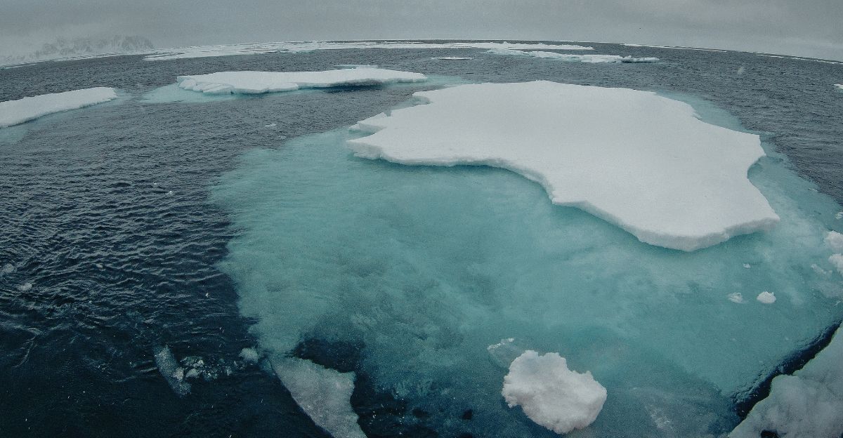
The glacier covers roughly 74,000 square miles—about the same size as Florida. Scientists refer to it as the “Doomsday Glacier” because if it were to collapse completely, it could potentially raise global sea levels by 10 feet. Researchers first identified similar glacial earthquakes in Greenland during the early 2000s when they adjusted their instruments to detect unusual signals.
Antarctica’s sparse sensor network and focus on conventional earthquake patterns meant these ice-related tremors went unnoticed for over a decade. The discovery changes how scientists understand the glacier’s behavior and stability.
Accelerating Ice Loss and Calving Events
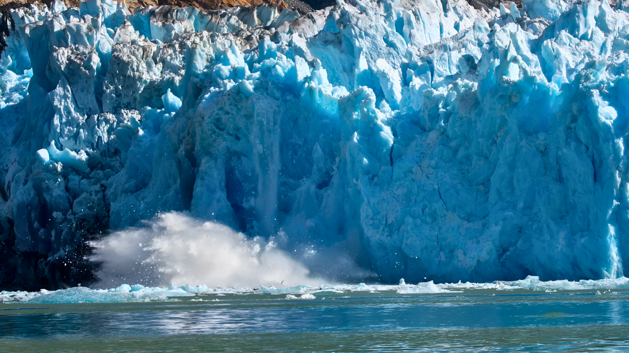
Two-thirds of the earthquakes clustered where Thwaites Glacier meets the Amundsen Sea. Each earthquake likely marks the breaking off of a massive iceberg, some as tall as skyscrapers. These icebergs fracture, rotate, and crash back into the glacier before floating away.
The impacts send vibrations thousands of miles across the continent. Researchers found 245 earthquakes at the glacier’s front edge, as well as another 117 earthquakes located 37 to 50 miles inland. The most intense earthquake activity happened between 2018 and 2020. During the same period, satellites detected the glacier accelerating significantly.
Scientists believe mechanical failures at the glacier’s front pull ice from farther inland, causing the entire system to slide faster toward the ocean. Warm, salty ocean water melts the ice from below, a process known as basal melting. This weakens the ice shelf that braces the glacier. Pine Island Glacier, another major West Antarctic outlet, also showed significant earthquake activity. Together, these two glaciers support the West Antarctic Ice Sheet, which holds enough ice to raise sea levels several additional meters.
Threats to Coastal Cities Worldwide
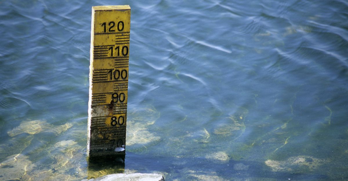
Climate Central’s research indicates that a 10-foot sea level rise would permanently submerge approximately 28,800 square miles of U.S. coastal land. Approximately 12.3 million Americans currently live in these low-lying areas. Major cities, including New York, Miami, New Orleans, and Norfolk, face serious risks from rising sea levels.
Scientists disagree about timing—some believe major collapse could start within decades, while others predict a slower process over centuries. The new earthquake data indicate that the glacier is actively destabilizing, but they cannot determine how fast the collapse will occur. International research teams now deploy more seismic instruments around Thwaites and Pine Island to monitor changes.
They combine seismic data with satellite images, ocean measurements, and ice-flow models to predict future behavior. Coastal communities already invest in flood barriers, elevated infrastructure, and improved drainage systems. Insurance companies and property markets increasingly factor rising seas into their calculations. The seismic evidence reveals both urgency and uncertainty about when these changes will affect coastlines globally.
Sources
Geophysical Research Letters, Systematic Detection of Glacial Earthquakes in Thwaites Glacier, December 2025
LiveScience / The Conversation, Hundreds of iceberg earthquakes are shaking the crumbling end of Antarctica’s Doomsday Glacier, January 2026
NASA Earth Observatory, (Thwaites Glacier satellite data and ice sheet research), January 2026
Climate Central, (Sea-level rise mapping and coastal vulnerability analysis), 2014-2025
Scientific American, What Does the U.S. Look Like after 3 Meters of Sea Level Rise, May 2014
Gizmodo, Hundreds of Earthquakes Are Rocking One of Earth’s Most Dangerous Glaciers, January 2026