Southwest Colorado saw an astonishing level of rainfall, with some places getting more than six inches in just two days, far more than they usually see in October. The National Weather Service recorded over 5.2 inches of rain from Friday to Sunday, smashing previous records and setting the stage for severe flooding and chaos in the area.
Locals watched as rain kept falling, drenching the ground nonstop and filling rivers to the brim. This kind of soaking is rare for the region and left people anxious as the sky threatened even more rain in the days ahead.
Vallecito Creek Overflows
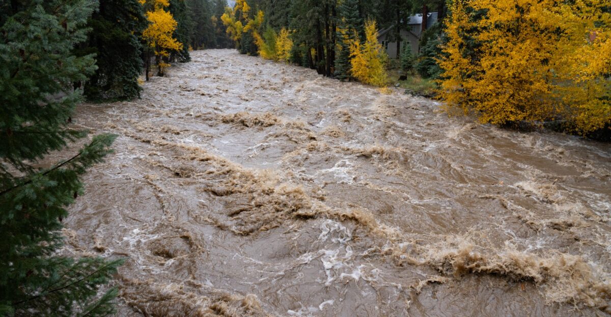
Vallecito Creek, which runs north of the Vallecito Reservoir, surged to historic levels, hitting over 7,200 cubic feet per second, more than double the usual peak for this time of year, triggering alarm among emergency teams and residents.
A Disaster Is Announced
With levees breached and infrastructure threatened, La Plata County moved quickly to declare a local disaster emergency. This decisive action meant extra help could come from the state, including assistance from the Colorado Department of Emergency Management.
Six bridges and electric lines faced immediate danger, leading to the disaster declaration to get more resources. Sarah Jacobson, a spokesperson for La Plata County, said, “We evacuated about 350 residences north of Vallecito Lake. Vallecito Lake is within La Plata County. Its closest town is our town of Bayfield, and there’s a lot of second homes up there, but a lot of other people do call that their primary residence.”
Hundreds Evacuate
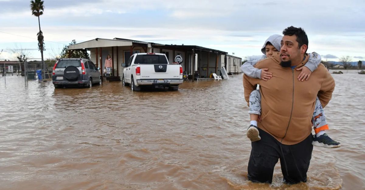
Authorities ordered mandatory evacuations for about 390 homes north of Vallecito Lake and nearby communities, including those close to Durango.
Residents were directed to Bayfield High School, which was set up as an emergency shelter with cots and supplies. Rescue teams told people not to cross certain county roads because bridges were damaged or unsafe.
Rivers and Creeks Burst
Grimes Creek and the San Juan River spilled out of their banks, adding to the disaster. In Pagosa Springs, the river’s gauge measured nearly 12.7 feet at the monitoring station, the third-highest reading since 1911.
Downtown areas were flooded, and emergency crews rushed residents out of harm’s way. Evacuation measures expanded quickly as water kept rising and riverbanks changed shape.
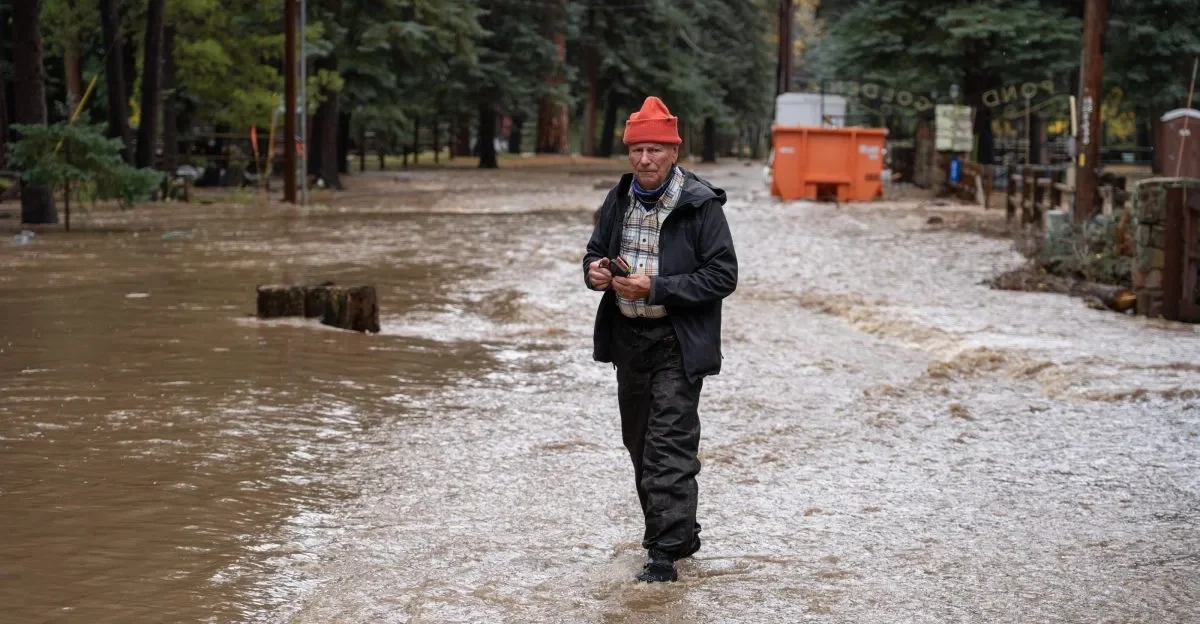
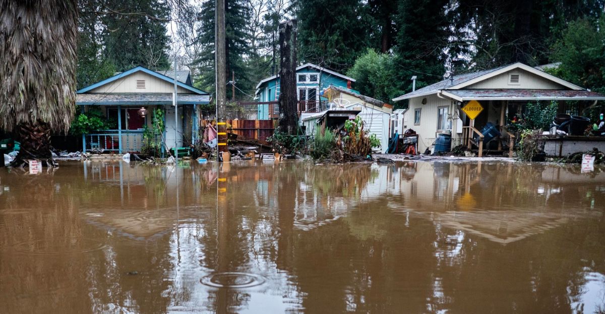
Homes Take Heavy Damage
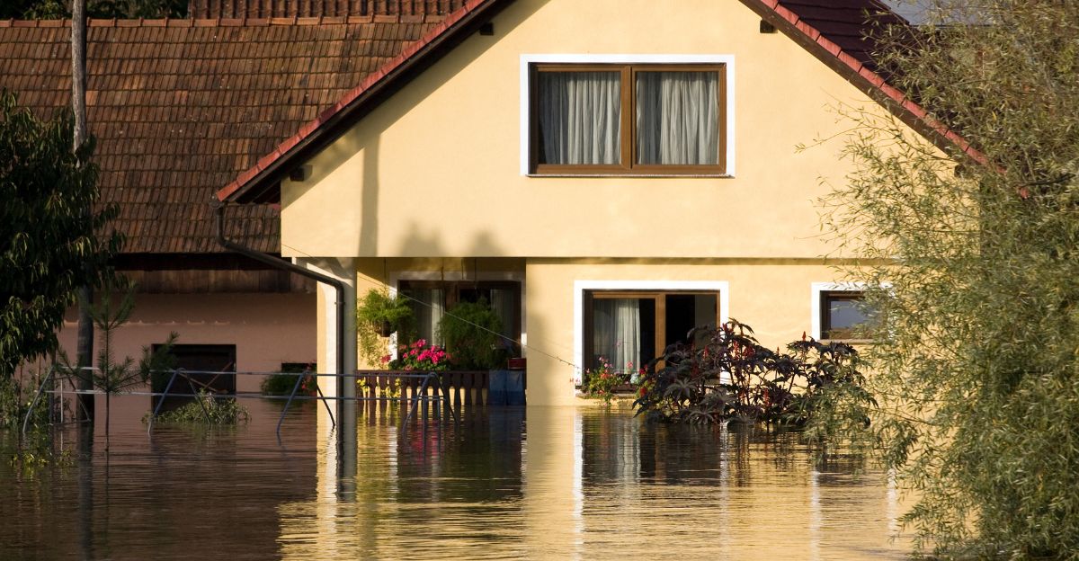
The flood caused major damage to about 100 homes, with some getting up to two feet of water inside. Officials said at least 90 homes were damaged, with two homes that may be total losses.
Families faced heartbreaking losses and uncertain futures as water ravaged their properties. The flooding escalated quickly, catching many residents off guard.
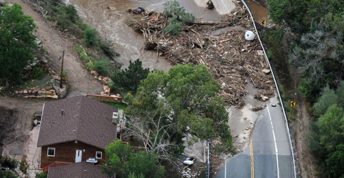
Roads and Bridges Threatened
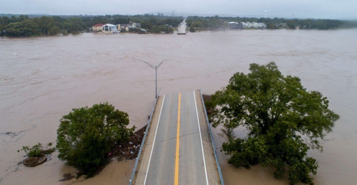
Crucial infrastructure was put at risk by mudslides, rockslides, and fast-moving water. Several public bridges, roadways, and electrical grids faced imminent danger as debris covered routes and made rescue missions more difficult.
La Plata County mobilized crews to clear bridges and deliver sandbags, often working through harsh conditions. Some roads were impassable, making it difficult for emergency teams and residents.
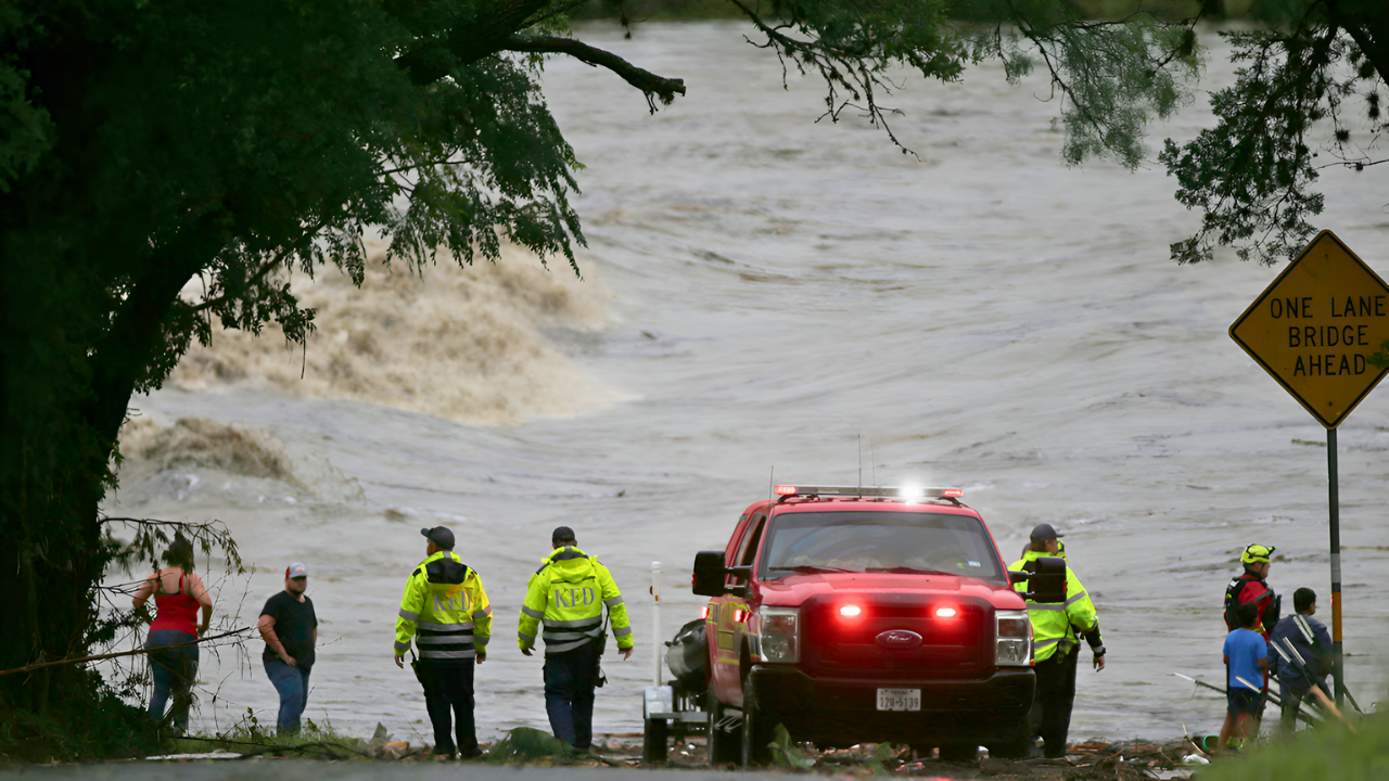
Emergency Crews in Action

Local emergency teams, including the Upper Pine River Fire Protection District, worked around the clock. They performed at least 11 high-water rescues, sometimes saving people who hadn’t evacuated in time.
Helicopters flew overhead to search for stranded hikers and to assess damage. The district also sent out sandbags to protect places like Blue Spruce RV Park & Cabins.
Governor Steps In

Governor Jared Polis verbally declared a state disaster emergency on Sunday, activating the State Emergency Operations Plan and greenlighting immediate funding for rescue and recovery efforts.
The state spent up to $1 million from the start to help impacted communities.
Community Shelters and Relief

Bayfield High School served as the main evacuation and relief center, providing food, bedding, and safety for evacuees. The Red Cross and other groups coordinated to offer immediate and ongoing support, helping families cope with displacement and loss.
Emergency call centers and check-in locations gave vital information and resources. The shelter became a hub for hope, comfort, and community spirit during the crisis.
Nature Suffers Too
Floodwaters tore through the landscape, carrying away trees, equipment, picnic tables, and even some hot tubs. Rivers changed shape, banks eroded, and local ecosystems were impacted.
Environmental experts warned that long-term effects could reshape the area’s rivers and wildlife habits, making recovery a challenge for everyone, people, animals, and plants.
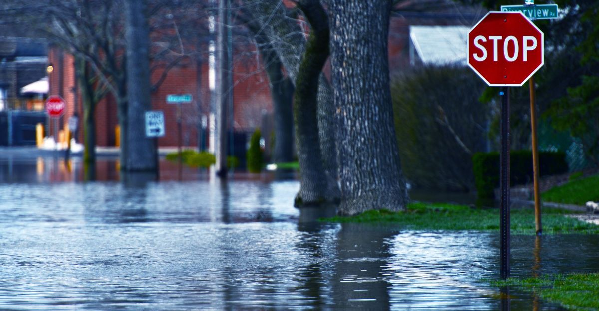
Warnings Continue

With more rain predicted for the coming days, flood watches and warnings remain in place until Tuesday. Authorities advised residents to avoid traveling on flooded or debris-filled roads and to keep checking updates from local officials.
High water levels posed risks for anyone venturing out, and riverbanks may be unstable and dangerous.
Communities Begin to Regroup
Despite destruction and loss, residents and local officials started planning how to regroup and repair. Extra rain was still expected, so levees were reinforced and damaged roads monitored.
People prepared for rebuilding and recovery, as the full impact of the flood continued to be assessed. Emergency teams and volunteers worked together, showing determination and unity in the face of disaster.
Lessons Learned

The flooding far exceeded the region’s previous control measures, revealing gaps in infrastructure and emergency response. Experts say new flood mitigation strategies are needed, especially in mountain areas prone to extreme weather.
Future planning will focus on building stronger defenses and making communities more resilient.